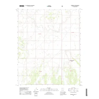
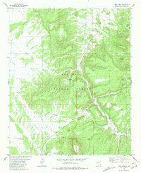
2020 Map of Ponderosa Tank
USGS Topo · Published 2020About this map
Apache National Forest lands dominate this high-altitude landscape in western New Mexico, where the terrain is defined by the drainage of Agua Fria Cr. The map details a specialized water management system in an arid environment, notably featuring cattle tanks such as Ponderosa Tank and Yearlong Tank. These artificial water sources reflect the area's ongoing use for grazing and forest management within the Apache National Forest boundaries. The survey provides a precise look at the township and range divisions, including t1s r18w and t1s r17w, which are essential for property researchers and those tracking the geography of public lands and forest service territory in Catron County.
Find a feature on this map
8 named features on this map. Tap any name to fly to it.
Don’t see what you’re looking for? This feature index may not catch every label — zoom into the map to look around manually.
Map Details
Editions of this 2020 Ponderosa Tank Map
This is the sole edition of this map. No revisions or reprints were ever made.
Other maps of this area

1954 · Saint Johns
USGS Topo · 1:250,000

1955 · Red Hill
USGS Topo · 1:24,000

1957 · Saint Johns
USGS Topo · 1:250,000

1958 · Saint Johns
USGS Topo · 1:250,000

1962 · Saint Johns
USGS Topo · 1:250,000
1972 · Red Hill
USGS Topo · 1:24,000

1972 · Blaines Lake
USGS Topo · 1:24,000
1972 · Armstrong Canyon
USGS Topo · 1:24,000
1981 · Ponderosa Tank
USGS Topo · 1:24,000
1981 · Largo Mesa
USGS Topo · 1:24,000