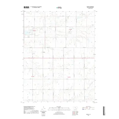
2018 Map of Pontiac
USGS Topo · Published 2018About this map
Pontiac serves as the central point of this Butler County landscape, situated at the intersection of SE 10th St and SE Price Rd. The area is defined by a dense network of drainage, where the N Br Little Walnut River flows through the southeastern quadrant and several smaller tributaries like Bemis Creek and Bird Cr carve through the section lines. This 2018 survey reveals the persistent agricultural grid of Kansas, with section roads such as NE Ellis Rd and NE Grant Rd providing access to the prairie. For genealogists, the map preserves the locations of local burial grounds, including the Pontiac Cem just west of the main settlement and the Economy Cem to the south. Other notable markers of human activity include Foster Field in the north and various named drainage features like Shady Cr and De Haas Cr that influence the local topography.
Find a feature on this map
38 named features on this map. Tap any name to fly to it.
Don’t see what you’re looking for? This feature index may not catch every label — zoom into the map to look around manually.
Map Details
Editions of this 2018 Pontiac Map
This is the sole edition of this map. No revisions or reprints were ever made.
Other maps of this area

1888 · Eldorado
USGS Topo · 1:125,000

1955 · Wichita
USGS Topo · 1:250,000

1958 · Wichita
USGS Topo · 1:250,000

1961 · Pontiac
USGS Topo · 1:24,000

1961 · De Graff
USGS Topo · 1:24,000

1961 · Rosalia NE
USGS Topo · 1:24,000

1961 · El Dorado
USGS Topo · 1:24,000

1961 · Rosalia
USGS Topo · 1:24,000
1961 · Rosalia NW
USGS Topo · 1:24,000

1963 · Leon
USGS Topo · 1:24,000