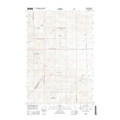
2014 Map of Pony
USGS Topo · Published 2014About this map
Pony sits at the eastern edge of this 2014 survey, where the high peaks of the Deerlodge National Forest and Beaverhead National Forest meet the valley floor. This mountain landscape is defined by its dramatic relief, rising from the settlement up toward Strawberry Ridge and Windy Pass. Drainage patterns from the high country are clear, with Pony Cr, Cataract Cr, and Magpie Cr carving deep canyons and gulches as they flow toward the east. High-altitude water bodies like Cataract Lake and Mason Lake are mapped in the southern reaches of the quadrangle.
Find a feature on this map
39 named features on this map. Tap any name to fly to it.
Don’t see what you’re looking for? This feature index may not catch every label — zoom into the map to look around manually.
Map Details
Editions of this 2014 Pony Map
This is the sole edition of this map. No revisions or reprints were ever made.
Other maps of this area

1888 · Three Forks
USGS Topo · 1:250,000

1893 · Dillon
USGS Topo · 1:250,000

1894 · Three Forks
USGS Topo · 1:250,000

1895 · Three Forks
USGS Topo · 1:250,000

1947 · Bozeman
USGS Topo · 1:250,000

1948 · Bozeman
USGS Topo · 1:250,000

1950 · Jefferson Island
USGS Topo · 1:62,500

1950 · Harrison
USGS Topo · 1:62,500

1955 · Bozeman
USGS Topo · 1:250,000

1955 · Dillon
USGS Topo · 1:250,000