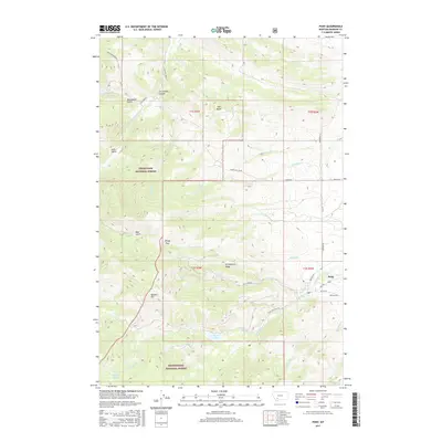
2017 Map of Pony
USGS Topo · Published 2017About this map
Pony sits at the foot of the Tobacco Root Mountains, serving as a gateway to high-altitude drainages and public lands. This 2017 survey details the complex geography where Deerlodge National Forest and Beaverhead National Forest meet. The landscape is defined by steep elevation changes, rising from the settlement toward prominent heights like Queens Hill and East Butte. To the west and south, the terrain becomes increasingly alpine, marked by Windy Pass and the waters of Cataract Lake and Mason Lake. The map documents the local road network connecting these mountain slopes, including Pony Rd and Carmichael Cr Rd, which follow the natural contours of canyons and gulches. The Pony Cem remains a quiet landmark on the eastern edge of the community, while the S Boulder River and numerous creeks like Antelope Cr drain the surrounding ridges.
Find a feature on this map
42 named features on this map. Tap any name to fly to it.
Don’t see what you’re looking for? This feature index may not catch every label — zoom into the map to look around manually.
Map Details
Editions of this 2017 Pony Map
This is the sole edition of this map. No revisions or reprints were ever made.
Other maps of this area

1888 · Three Forks
USGS Topo · 1:250,000

1893 · Dillon
USGS Topo · 1:250,000

1894 · Three Forks
USGS Topo · 1:250,000

1895 · Three Forks
USGS Topo · 1:250,000

1947 · Bozeman
USGS Topo · 1:250,000

1948 · Bozeman
USGS Topo · 1:250,000

1950 · Jefferson Island
USGS Topo · 1:62,500

1950 · Harrison
USGS Topo · 1:62,500

1955 · Bozeman
USGS Topo · 1:250,000

1955 · Dillon
USGS Topo · 1:250,000