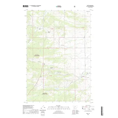
2020 Map of Pony
USGS Topo · Published 2020About this map
Pony sits at the eastern edge of the Tobacco Root Mountains, where the high alpine terrain of the Beaverhead National Forest meets the valley floor. This 2020 survey details a landscape defined by significant elevation changes, from the heights of Queens Hill and Strawberry Ridge down to the drainage of the S Boulder River. The settlement pattern is concentrated near the historic townsite, while the surrounding backcountry is accessed via narrow routes like Pony Creek Rd and Potosi Rd. High-altitude water bodies such as Cataract Lake and Mason Lake are mapped within the national forest boundaries, showing the hydrological sources for the various gulches and canyons that carve through the range, including Carmichael Canyon and Brownback Gulch. For those tracing local roots, the Pony Cem is clearly marked just outside the main residential cluster.
Find a feature on this map
47 named features on this map. Tap any name to fly to it.
Don’t see what you’re looking for? This feature index may not catch every label — zoom into the map to look around manually.
Map Details
Editions of this 2020 Pony Map
This is the sole edition of this map. No revisions or reprints were ever made.
Other maps of this area

1888 · Three Forks
USGS Topo · 1:250,000

1893 · Dillon
USGS Topo · 1:250,000

1894 · Three Forks
USGS Topo · 1:250,000

1895 · Three Forks
USGS Topo · 1:250,000

1947 · Bozeman
USGS Topo · 1:250,000

1948 · Bozeman
USGS Topo · 1:250,000

1950 · Jefferson Island
USGS Topo · 1:62,500

1950 · Harrison
USGS Topo · 1:62,500

1955 · Bozeman
USGS Topo · 1:250,000

1955 · Dillon
USGS Topo · 1:250,000