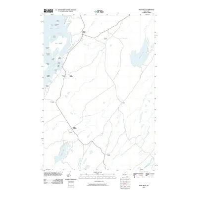
2010 Map of Pope Mills
USGS Topo · Published 2010About this map
Pope Mills sits at a critical hydrologic junction where Fish Creek flows toward the eastern reaches of Black Lake. This Saint Lawrence County landscape is defined by its erratic water patterns and small, family-associated crossroads that have anchored the rural community for generations. The map reveals a complex network of bays and islands along the lake's edge, including Big Island and Elizabeth Island, which contrast with the agricultural uplands to the east.
Find a feature on this map
40 named features on this map. Tap any name to fly to it.
Don’t see what you’re looking for? This feature index may not catch every label — zoom into the map to look around manually.
Map Details
Editions of this 2010 Pope Mills Map
This is the sole edition of this map. No revisions or reprints were ever made.
Other maps of this area

1904 · Ogdensburg
USGS Topo · 1:62,500

1905 · Ogdensburg
USGS Topo · 1:62,500

1906 · Brier Hill
USGS Topo · 1:62,500

1912 · Hammond
USGS Topo · 1:62,500

1915 · Gouverneur
USGS Topo · 1:62,500

1937 · Gouverneur
USGS Topo · 1:62,500

1942 · Morristown
USGS Topo · 1:24,000

1943 · Morristown
USGS Topo · 1:31,680

1943 · Edwardsville
USGS Topo · 1:31,680
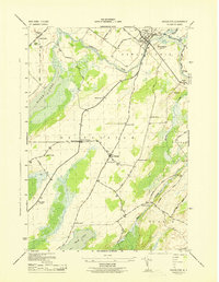
1943 · Heuvelton
USGS Topo · 1:31,680