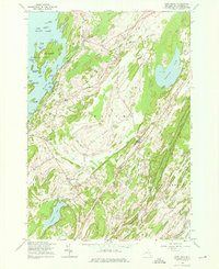
1961 Map of Pope Mills
USGS Topo · Published 1976About this map
Black Lake dominates the northwestern landscape of this St. Lawrence County region, its shoreline deeply indented by bays like Lower Deep Bay and Orchard Bay. The settlement of Pope Mills sits at the junction of Fish Creek and the lake, serving as a historic focal point for the surrounding township of Macomb. This mid-century view reveals a rural network of crossroads and small communities, including Ruby Corner, Pierces Corners, and Brasie Corners. Away from the water, the terrain rises toward Fine Hill, while the southeastern corner is defined by the Oswegatchie River and the boundary of Gouverneur. Genealogists will find several burial sites noted, such as Woodworth Cem and Oldsville Cem, alongside a web of local thoroughfares like Winding Hill Road and California Road that linked these remote homesteads and farms.
Find a feature on this map
65 named features on this map. Tap any name to fly to it.
Don’t see what you’re looking for? This feature index may not catch every label — zoom into the map to look around manually.
Map Details
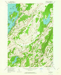
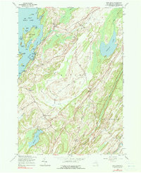
Editions of this 1961 Pope Mills Map
Other maps of this area

1904 · Ogdensburg
USGS Topo · 1:62,500

1905 · Ogdensburg
USGS Topo · 1:62,500

1906 · Brier Hill
USGS Topo · 1:62,500

1912 · Hammond
USGS Topo · 1:62,500

1915 · Gouverneur
USGS Topo · 1:62,500

1937 · Gouverneur
USGS Topo · 1:62,500

1942 · Morristown
USGS Topo · 1:24,000

1943 · Morristown
USGS Topo · 1:31,680

1943 · Edwardsville
USGS Topo · 1:31,680
1943 · Heuvelton
USGS Topo · 1:31,680