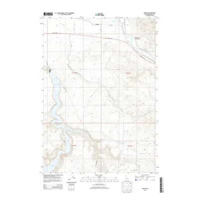
2013 Map of Poplar
USGS Topo · Published 2013About this map
Poplar is situated in a high-elevation landscape where the Snake River basin meets engineered water systems and canyon terrain. The settlement is defined by its proximity to the Snake River, which winds through the northeast corner near Stinking Spring Canyon. Local agriculture and land management are visible through irrigation features such as the Anderson Canal and Riley Ditch, which cut across the northern plains. To the southwest, the expansive Ririe Reservoir dominates the drainage of Meadow Creek, showing the modern water storage infrastructure of Bonneville County. The map details a complex network of canyons and ridges, including the distinct Mud Spring and the steep grade of the Harris Dugway. This transition from the river valley to the upland draws of Deep Cr and Mud Spring Cr illustrates the intersection of mid-20th-century water engineering and the older trail routes that once navigated this varied topography.
Find a feature on this map
25 named features on this map. Tap any name to fly to it.
Don’t see what you’re looking for? This feature index may not catch every label — zoom into the map to look around manually.
Map Details
Editions of this 2013 Poplar Map
This is the sole edition of this map. No revisions or reprints were ever made.
Other maps of this area

1924 · Hell Creek
USGS Topo · 1:62,500

1924 · Ammon
USGS Topo · 1:62,500

1926 · Hell Creek
USGS Topo · 1:62,500

1950 · Ririe
USGS Topo · 1:24,000

1950 · Rigby
USGS Topo · 1:62,500

1950 · Rigby SE
USGS Topo · 1:24,000

1951 · Rigby SE
USGS Topo · 1:24,000

1951 · Poplar
USGS Topo · 1:24,000

1951 · Hawley Gulch
USGS Topo · 1:24,000

1951 · Heise
USGS Topo · 1:24,000