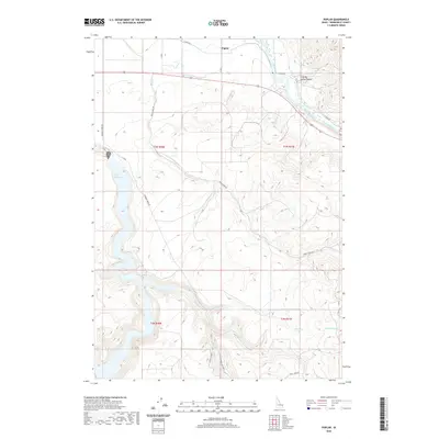
2020 Map of Poplar
USGS Topo · Published 2020About this map
Poplar serves as the focal point for this eastern Idaho landscape, where the irrigation history of the region is written in the water of the Snake River and the Riley Ditch. To the west, the expansive Ririe Reservoir dominates the drainage patterns, its waters filling the deep draws and canyons that define the local topography. This modern survey illustrates how agricultural infrastructure and water management have shaped the land, from the winding path of Birch Cr to the intricate network of local roads like Meadow Creek Rd and Harris Dugway. The terrain transitions from the river valley to the complex ridges and basins that include Stinking Spring Canyon and the headwaters of Mud Spring Cr, providing a clear record of the intersection between managed water systems and the natural high-desert environment of Bonneville County.
Find a feature on this map
20 named features on this map. Tap any name to fly to it.
Don’t see what you’re looking for? This feature index may not catch every label — zoom into the map to look around manually.
Map Details
Editions of this 2020 Poplar Map
This is the sole edition of this map. No revisions or reprints were ever made.
Other maps of this area

1924 · Hell Creek
USGS Topo · 1:62,500

1924 · Ammon
USGS Topo · 1:62,500

1926 · Hell Creek
USGS Topo · 1:62,500

1950 · Ririe
USGS Topo · 1:24,000

1950 · Rigby
USGS Topo · 1:62,500

1950 · Rigby SE
USGS Topo · 1:24,000

1951 · Rigby SE
USGS Topo · 1:24,000

1951 · Poplar
USGS Topo · 1:24,000

1951 · Hawley Gulch
USGS Topo · 1:24,000

1951 · Heise
USGS Topo · 1:24,000