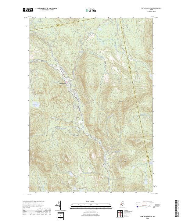
2024 Map of Poplar Mountain
USGS Topo · Published 2024About this map
Carrabassett serves as the central hub of this mountain landscape, where the Carrabassett River flows through a valley defined by significant peaks. The terrain is characterized by a high density of water bodies, including Hammond Pond, Shiloh Pond, and Butler Pond, which are fed by numerous streams like Huston Brook and Poplar Stream. The settlement pattern follows the river and the primary thoroughfare of Carrabassett Dr, branching out into residential and access roads such as Huston Brook Rd and Poplar Stream Rd.
Find a feature on this map
55 named features on this map. Tap any name to fly to it.
Don’t see what you’re looking for? This feature index may not catch every label — zoom into the map to look around manually.
Map Details
Editions of this 2024 Poplar Mountain Map
This is the sole edition of this map. No revisions or reprints were ever made.
Other maps of this area

1928 · Dead River
USGS Topo · 1:62,500

1928 · Stratton
USGS Topo · 1:48,000

1929 · Phillips
USGS Topo · 1:48,000

1930 · Kingfield
USGS Topo · 1:48,000

1931 · Dead River
USGS Topo · 1:48,000

1932 · Phillips
USGS Topo · 1:62,500

1932 · Stratton
USGS Topo · 1:62,500

1932 · Kingfield
USGS Topo · 1:62,500

1944 · Dead River
USGS Topo · 1:62,500

1949 · Jackman
USGS Topo · 1:250,000
Featured Places
- Kingfield, ME
- Carrabassett Valley, ME
- Highland Plantation, ME
- Dead River Township, ME
- Lexington Township, ME