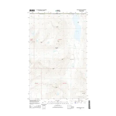
2014 Map of Porcupine Ridge
USGS Topo · Published 2014About this map
The international border between Montana and Canada bisects this high-elevation terrain within Glacier National Park. The landscape is dominated by the massive hydrologic systems of Upper Waterton Lake and the northward-flowing Waterton River, which carves through the Waterton Valley. To the west, the Livingston Range provides a formidable barrier, dotted with alpine water bodies such as Carcajou Lake and Shaheeya Lake. The survey illustrates the complex topography of the Porcupine Ridge and the Citadel Peaks, where the drainage patterns of Olson Cr and Valentine Cr reveal the intricate watershed of the Rocky Mountains. This cartographic study documents the pristine wilderness at the start of the 21st century, detailing the precise locations of landmarks like Rainbow Falls and the surrounding summits of Campbell Mtn and Kootenai Peak.
Find a feature on this map
42 named features on this map. Tap any name to fly to it.
Don’t see what you’re looking for? This feature index may not catch every label — zoom into the map to look around manually.
Map Details
Editions of this 2014 Porcupine Ridge Map
This is the sole edition of this map. No revisions or reprints were ever made.
Other maps of this area

1904 · Chief Mountain
USGS Topo · 1:125,000

1906 · Kintla Lakes
USGS Topo · 1:125,000

1938 · Chief Mountain
USGS Topo · 1:125,000

1938 · Kintla Lakes
USGS Topo · 1:125,000

1957 · Kalispell
USGS Topo · 1:250,000

1960 · Kalispell
USGS Topo · 1:250,000

1960 · Cut Bank
USGS Topo · 1:250,000

1961 · Kalispell
USGS Topo · 1:250,000

1963 · Cut Bank
USGS Topo · 1:250,000

1964 · Cut Bank
USGS Topo · 1:250,000