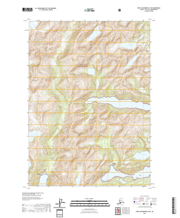
2021 Map of Port Alexander B-3 NE
USGS Topo · Published 2021About this map
Baranof Island terrain dominates this coastal Alaska survey, showcasing the dramatic elevation changes within the Tongass National Forest. The landscape is defined by high peaks and significant water bodies, most notably the prominent Mt Rudakof which towers over the western half of the sheet. The interior is dotted with remote alpine waters, including the Rostislaf Lakes in the northeast and Baturin Lake near the western edge. Further south, Lake Osprey provides a distinct landmark within the complex glacial topography. While much of the land falls under the jurisdiction of the city and borough of Sitka, the map emphasizes the natural features of the wilderness over human development, preserving a detailed record of the forest's hydrological and geological state.
Find a feature on this map
11 named features on this map. Tap any name to fly to it.
Don’t see what you’re looking for? This feature index may not catch every label — zoom into the map to look around manually.
Map Details
Editions of this 2021 Port Alexander B-3 NE Map
This is the sole edition of this map. No revisions or reprints were ever made.
Other maps of this area

1948 · Port Alexander B-2
USGS Topo · 1:63,360

1951 · Port Alexander C-2
USGS Topo · 1:63,360

1951 · Port Alexander B-3 and B-4
USGS Topo · 1:63,360

1951 · Port Alexander C-3
USGS Topo · 1:63,360

1951 · Port Alexander
USGS Topo · 1:250,000

1951 · Port Alexander B-2
USGS Topo · 1:63,360

1952 · Port Alexander
USGS Topo · 1:250,000

1964 · Port Alexander
USGS Topo · 1:250,000

1994 · Port Alexander C-3
USGS Topo · 1:63,360
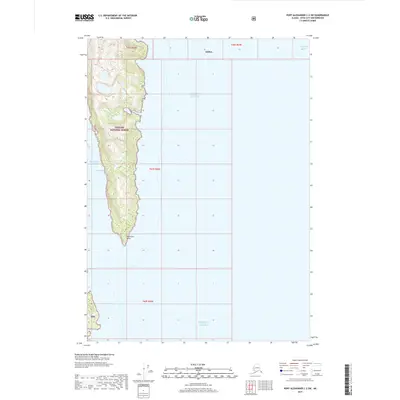
2017 · Port Alexander C-2 SW
USGS Topo · 1:25,000