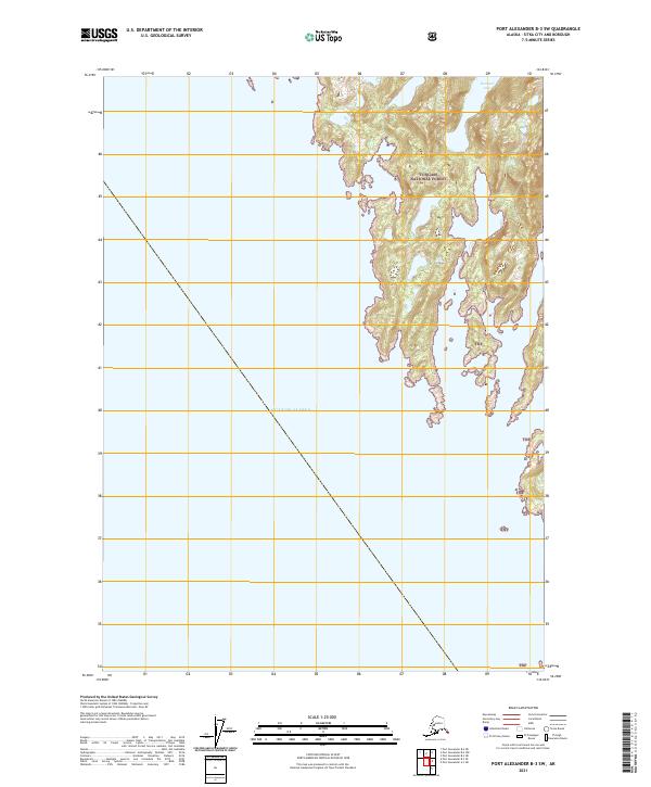
2021 Map of Port Alexander B-3 SW
USGS Topo · Published 2021About this map
The Gulf of Alaska dominates the western half of this coastal landscape, where the open sea meets the intricate shoreline of the Tongass National Forest. The map documents a rugged archipelago environment within the Sitka City and Borough, defined by steep topography and heavy timber. Inland, Tumakof Lake sits at the northern edge of the sheet, providing a rare freshwater landmark amidst the jagged inlets and peninsulas of the Alexander Archipelago. This 2021 update from the U.S. Geological Survey focuses on the natural hydrology and boundaries of the Tongass National Forest, showing a landscape where human infrastructure is entirely absent in favor of protected wilderness and complex tidal interfaces.
Find a feature on this map
9 named features on this map. Tap any name to fly to it.
Don’t see what you’re looking for? This feature index may not catch every label — zoom into the map to look around manually.
Map Details
Editions of this 2021 Port Alexander B-3 SW Map
This is the sole edition of this map. No revisions or reprints were ever made.
Other maps of this area
1948 · Port Alexander A-3
USGS Topo · 1:63,360

1951 · Port Alexander B-3 and B-4
USGS Topo · 1:63,360

1951 · Port Alexander
USGS Topo · 1:250,000
1951 · Port Alexander A-3
USGS Topo · 1:63,360

1952 · Port Alexander
USGS Topo · 1:250,000

1964 · Port Alexander
USGS Topo · 1:250,000
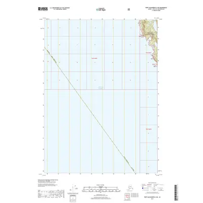
2017 · Port Alexander B-4 NE
USGS Topo · 1:25,000
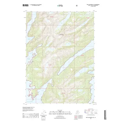
2017 · Port Alexander B-3 SE
USGS Topo · 1:25,000
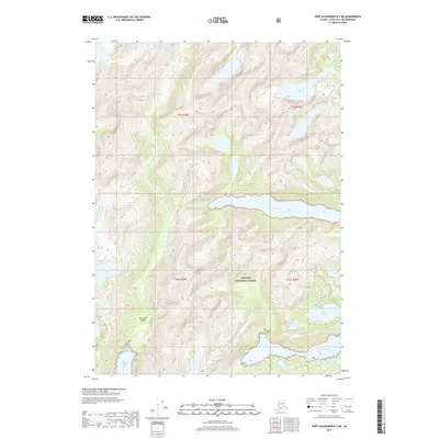
2017 · Port Alexander B-3 NE
USGS Topo · 1:25,000
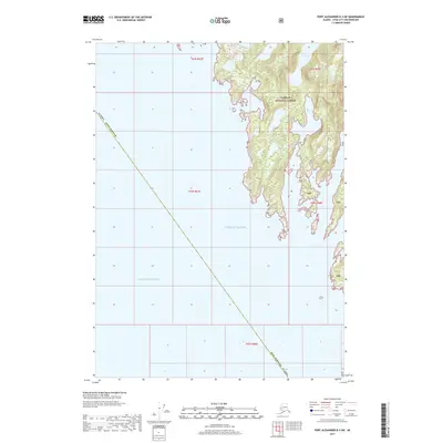
2017 · Port Alexander B-3 SW
USGS Topo · 1:25,000