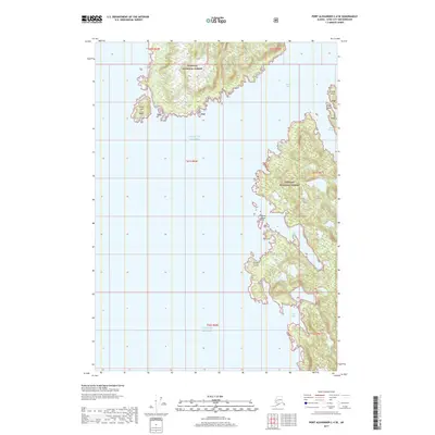
2017 Map of Port Alexander C-4 SE
USGS Topo · Published 2017About this map
The Gulf of Alaska defines this coastal region of Baranof Island, where the sea meets the deeply indented shoreline of the Tongass National Forest. The map documents a maritime landscape of protected inlets and exposed headlands, featuring the prominent North Cape to the northwest and the Tikhala Islands further south. This 2017 survey reveals the intricate hydrography of the Alaskan panhandle, from the deep waters of Whale Bay to the secluded reaches of Still Harbor and Close Bay. These named coves and harbors provide essential context for understanding the historic navigation and seasonal use of these remote coastal waters. Landforms such as Point Lauder and Finger Point serve as key navigational landmarks along the rugged perimeter of the Sitka City and Borough.
Find a feature on this map
18 named features on this map. Tap any name to fly to it.
Don’t see what you’re looking for? This feature index may not catch every label — zoom into the map to look around manually.
Map Details
Editions of this 2017 Port Alexander C-4 SE Map
This is the sole edition of this map. No revisions or reprints were ever made.
Other maps of this area

1951 · Port Alexander C-4
USGS Topo · 1:63,360

1951 · Port Alexander B-3 and B-4
USGS Topo · 1:63,360

1951 · Port Alexander C-3
USGS Topo · 1:63,360

1951 · Port Alexander
USGS Topo · 1:250,000

1952 · Port Alexander
USGS Topo · 1:250,000

1964 · Port Alexander
USGS Topo · 1:250,000

1994 · Port Alexander C-3
USGS Topo · 1:63,360

1994 · Port Alexander C-4
USGS Topo · 1:63,360
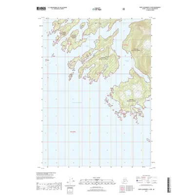
2017 · Port Alexander C-4 NW
USGS Topo · 1:25,000
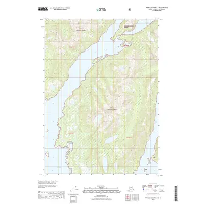
2017 · Port Alexander C-4 NE
USGS Topo · 1:25,000