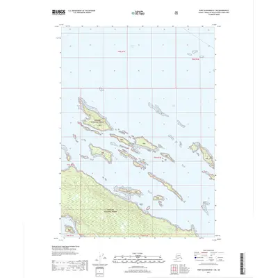
2017 Map of Port Alexander D-1 NE
USGS Topo · Published 2017About this map
Frederick Sound and the Keku Strait meet in this maritime environment of the Alexander Archipelago. The terrain is dominated by the intricate network of the Keku Islets and the larger Keku Islands cluster, showcasing the complex tidal geography characteristic of the region. Much of the land area, including the prominent Payne Island, is part of the Tongass National Forest, indicating a landscape managed for its natural resources and conservation. To the southwest, the coastal indentation of Saginaw Bay provides a protected waterway behind the fragmented shoreline. This survey captures the relationship between the deep waters of the sound and the shallow, island-studded straits that have long influenced navigation and fishing in this corner of Alaska.
Find a feature on this map
14 named features on this map. Tap any name to fly to it.
Don’t see what you’re looking for? This feature index may not catch every label — zoom into the map to look around manually.
Map Details
Editions of this 2017 Port Alexander D-1 NE Map
This is the sole edition of this map. No revisions or reprints were ever made.
Other maps of this area

1948 · Sumdum A-6
USGS Topo · 1:63,360

1948 · Petersburg D-6
USGS Topo · 1:63,360

1948 · Port Alexander D-1
USGS Topo · 1:63,360

1948 · Sitka A-1
USGS Topo · 1:63,360

1951 · Sitka
USGS Topo · 1:250,000

1951 · Port Alexander
USGS Topo · 1:250,000

1951 · Petersburg D-6
USGS Topo · 1:63,360

1952 · Petersburg
USGS Topo · 1:250,000

1952 · Port Alexander
USGS Topo · 1:250,000

1952 · Sumdum
USGS Topo · 1:250,000