
1948 Map of Port Alexander D-1
USGS Topo · Published 1958About this map
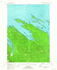
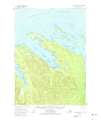
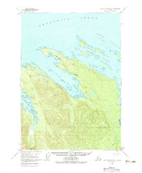
Kuiu Island dominates this mid-century topographic record of Southeast Alaska, showing a landscape defined by deep fjords and maritime industry. Located within the Tongass National Forest, the map captures the essential coastal infrastructure of the era, most notably the Cannery at the head of Saginaw Bay. This industrial outpost was supported by a Pipeline and navigation aids like the Cornwallis Pt Light to the north.
Find a feature on this map
21 named features on this map. Tap any name to fly to it.
Don’t see what you’re looking for? This feature index may not catch every label — zoom into the map to look around manually.
Map Details
Editions of this 1948 Port Alexander D-1 Map
4 editions found
Other maps of this area

1948 · Sitka A-2
USGS Topo · 1:63,360

1948 · Port Alexander C-1
USGS Topo · 1:63,360

1948 · Sumdum A-6
USGS Topo · 1:63,360

1948 · Petersburg D-6
USGS Topo · 1:63,360

1948 · Petersburg C-6
USGS Topo · 1:63,360

1948 · Sitka A-1
USGS Topo · 1:63,360

1951 · Sitka
USGS Topo · 1:250,000

1951 · Port Alexander C-2
USGS Topo · 1:63,360

1951 · Port Alexander
USGS Topo · 1:250,000

1951 · Port Alexander D-2
USGS Topo · 1:63,360