
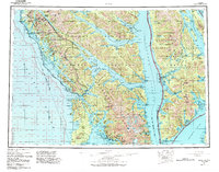
1951 Map of Sitka
USGS Topo · Published 1958About this map
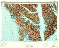
Baranof Island and the surrounding Alexander Archipelago appear here in a mid-century compilation, showing the intricate marine geography before later decades of development. This coastal network relies on maritime access points like Kimshan Cove and Tenakee (Springs PO), where the shoreline is dotted with industrial outposts including a Logging Camp and various Cannery sites. The presence of an Army Camp (Aband) near the base of Mount Edgecumbe points to a recent military history in the region, while the Old Sitka (Ruins) label preserves the location of earlier historic settlement.
Find a feature on this map
138 named features on this map. Tap any name to fly to it.
Don’t see what you’re looking for? This feature index may not catch every label — zoom into the map to look around manually.
Map Details
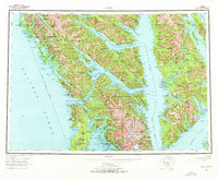
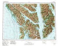
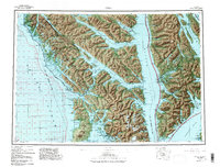
Editions of this 1951 Sitka Map
6 editions found
Other maps of this area

1948 · Juneau A-3
USGS Topo · 1:63,360

1948 · Sitka B-3
USGS Topo · 1:63,360

1948 · Juneau A-4
USGS Topo · 1:63,360

1948 · Sitka D-1
USGS Topo · 1:63,360

1948 · Sitka B-1
USGS Topo · 1:63,360

1948 · Sitka A-5
USGS Topo · 1:63,360

1948 · Sitka A-3
USGS Topo · 1:63,360

1948 · Sitka C-7
USGS Topo · 1:63,360

1948 · Sitka C-2
USGS Topo · 1:63,360

1948 · Sitka A-2
USGS Topo · 1:63,360