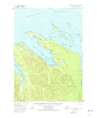
1948 Map of Port Alexander D-1
USGS Topo · Published 1977About this map
Kuiu Island dominates this 1948 survey, revealing the intricate coastline and maritime infrastructure of Southeast Alaska before mid-century modernizations. The northern coast of the island is deeply indented by Saginaw Bay and Security Bay, where topographic contours rise sharply from the shoreline. Traces of human activity are concentrated near the water, evidenced by a Cannery and a cluster of Cabins along the shoreline, alongside geographic markers like Sachem. The map illuminates a landscape defined by its relation to the sea, where Halleck Harbor and Keku Islets provide sheltered passages within Keku Strait. Geologic features like Fossil Bluffs and navigational aids such as the Light at Cornwallis Pt indicate the dual importance of scientific study and maritime safety in the Tongass National Forest.
Find a feature on this map
24 named features on this map. Tap any name to fly to it.
Don’t see what you’re looking for? This feature index may not catch every label — zoom into the map to look around manually.
Map Details
Editions of this 1948 Port Alexander D-1 Map
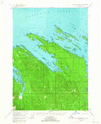
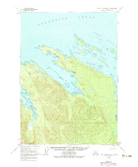
4 editions found
Other maps of this area

1948 · Sitka A-2
USGS Topo · 1:63,360

1948 · Port Alexander C-1
USGS Topo · 1:63,360

1948 · Sumdum A-6
USGS Topo · 1:63,360

1948 · Petersburg D-6
USGS Topo · 1:63,360

1948 · Port Alexander D-1
USGS Topo · 1:63,360

1948 · Petersburg C-6
USGS Topo · 1:63,360

1948 · Sitka A-1
USGS Topo · 1:63,360

1951 · Sitka
USGS Topo · 1:250,000

1951 · Port Alexander C-2
USGS Topo · 1:63,360

1951 · Port Alexander
USGS Topo · 1:250,000