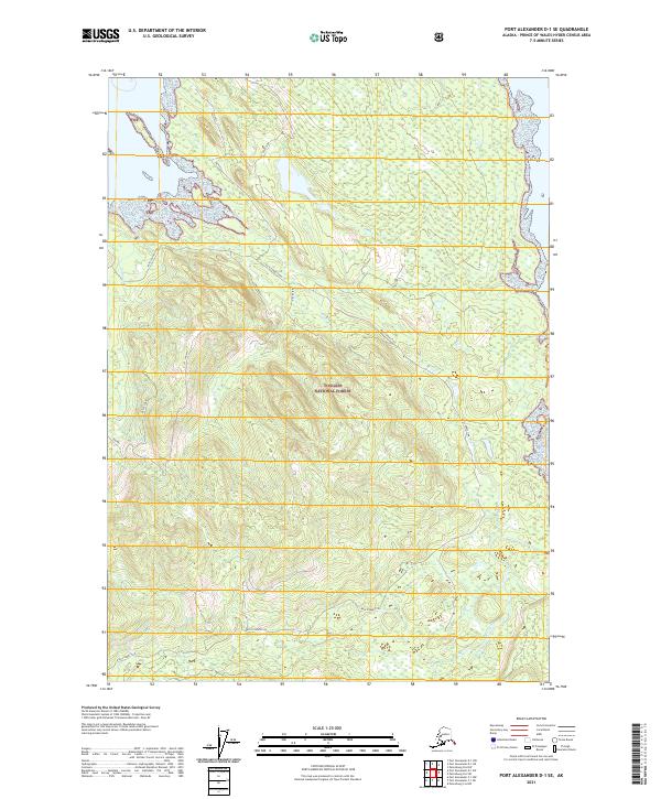
2021 Map of Port Alexander D-1 SE
USGS Topo · Published 2021About this map
Tongass National Forest dominates this landscape on Kuiu Island, where intricate waterways and landform-specific markers define the wilderness. The area is traced by the Kuiu Connection, a route that winds through the mountainous interior to bridge distant shorelines. Local topography is recorded through distinctive and sometimes idiosyncratic names such as Selection, Contraversy, and Ridge Top, suggesting a history of land use or surveying decisions that shaped the early management of these timberlands.
Find a feature on this map
17 named features on this map. Tap any name to fly to it.
Don’t see what you’re looking for? This feature index may not catch every label — zoom into the map to look around manually.
Map Details
Editions of this 2021 Port Alexander D-1 SE Map
This is the sole edition of this map. No revisions or reprints were ever made.
Other maps of this area

1948 · Port Alexander C-1
USGS Topo · 1:63,360

1948 · Petersburg D-6
USGS Topo · 1:63,360

1948 · Port Alexander D-1
USGS Topo · 1:63,360

1948 · Petersburg C-6
USGS Topo · 1:63,360

1951 · Port Alexander
USGS Topo · 1:250,000

1951 · Petersburg D-6
USGS Topo · 1:63,360

1951 · Port Alexander C-1
USGS Topo · 1:63,360

1952 · Petersburg
USGS Topo · 1:250,000

1952 · Port Alexander
USGS Topo · 1:250,000

1960 · Petersburg
USGS Topo · 1:250,000