
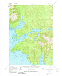
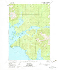
1951 Map of Port Alexander C-1
USGS Topo · Published 1967About this map
Kuiu Island provides the backdrop for this 1951 record of industrial and maritime activity in Southeast Alaska. The coastal landscape is centered on the Bay of Pillars, where the Pillar Bay Cannery and a dedicated Seaplane Base mark the intersection of the salmon industry and essential air transport. Inland, the map follows the drainage of Kutlaku Creek from Kutlaku Lake toward the intricate coastline of Rowan Bay. The isolation of the Alexander Archipelago is evident in the sparse infrastructure, where a lone Cabin or specialized maritime features like Piledriver Cove represent the only terrestrial footprints. This survey, updated with minor revisions in the mid-1960s, serves as a primary source for understanding the mid-century development of the Alaskan fishing economy and the remote settlements that supported it.
Find a feature on this map
18 named features on this map. Tap any name to fly to it.
Don’t see what you’re looking for? This feature index may not catch every label — zoom into the map to look around manually.
Map Details
Editions of this 1951 Port Alexander C-1 Map
3 editions found
Other maps of this area

1948 · Port Alexander C-1
USGS Topo · 1:63,360

1948 · Petersburg B-6
USGS Topo · 1:63,360

1948 · Port Alexander B-1
USGS Topo · 1:63,360

1948 · Petersburg D-6
USGS Topo · 1:63,360

1948 · Port Alexander D-1
USGS Topo · 1:63,360

1948 · Petersburg C-6
USGS Topo · 1:63,360

1948 · Port Alexander B-2
USGS Topo · 1:63,360

1951 · Port Alexander C-2
USGS Topo · 1:63,360

1951 · Port Alexander
USGS Topo · 1:250,000

1951 · Port Alexander D-2
USGS Topo · 1:63,360