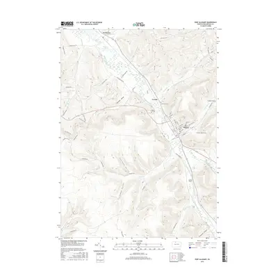
2016 Map of Port Allegany
USGS Topo · Published 2016About this map
Port Allegany serves as the focal point of this McKean County landscape, where the Allegheny River meets Allegheny Portage Creek in a valley defined by deep hollows and narrow creek beds. The map reveals a high concentration of named topographical features that reflect local heritage, such as Ostrander Hollow, Sherwood Hollow, and Steel Hollow. These landforms, alongside water bodies like Lillibridge Cr and Combs Creek, dictate the winding paths of rural roads like Stagecoach Rd and Old Bush Mill Rd. For those researching local families, the inclusion of Fairview Cem, Saint Gabriels Cem, and Lewis Hill Cem provides specific points of interest. The northern portion of the map near Turtlepoint and the Simpson Cove wetlands illustrates the broader river system as it flows toward the community of Twomile, while the Johnson Airport stands as a more modern landmark on the outskirts of the primary settlement.
Find a feature on this map
69 named features on this map. Tap any name to fly to it.
Don’t see what you’re looking for? This feature index may not catch every label — zoom into the map to look around manually.
Map Details
Editions of this 2016 Port Allegany Map
This is the sole edition of this map. No revisions or reprints were ever made.
Other maps of this area

1933 · Smethport
USGS Topo · 1:62,500

1934 · Coudersport
USGS Topo · 1:48,000

1937 · Smethport
USGS Topo · 1:62,500

1938 · Coudersport
USGS Topo · 1:62,500

1948 · Crosby
USGS Topo · 1:62,500

1948 · Emporium
USGS Topo · 1:62,500

1948 · Keating Summit
USGS Topo · 1:24,000

1948 · Norwich
USGS Topo · 1:24,000
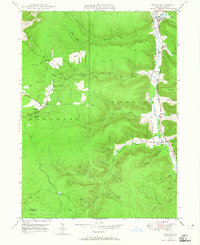
1948 · Crosby
USGS Topo · 1:24,000
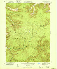
1950 · Norwich
USGS Topo · 1:24,000