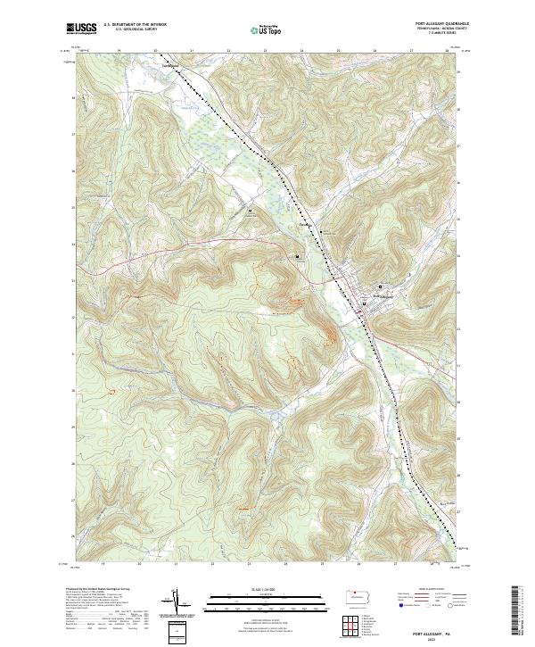
2023 Map of Port Allegany
USGS Topo · Published 2023About this map
The Allegheny River carves a significant path through this portion of McKean County, joined by major tributaries like Allegheny Portage Creek and Twomile Creek. The settlement of Port Allegany serves as the primary hub, where the river valley widens and supports a grid of residential and industrial streets including Volney St and Glass Pl. The landscape is defined by deep hollows and high points such as Prospect Hill and Champlain Hill, illustrating the complex drainage patterns that lead into the river valley.
Find a feature on this map
68 named features on this map. Tap any name to fly to it.
Don’t see what you’re looking for? This feature index may not catch every label — zoom into the map to look around manually.
Map Details
Editions of this 2023 Port Allegany Map
This is the sole edition of this map. No revisions or reprints were ever made.
Other maps of this area

1933 · Smethport
USGS Topo · 1:62,500

1934 · Coudersport
USGS Topo · 1:48,000

1937 · Smethport
USGS Topo · 1:62,500

1938 · Coudersport
USGS Topo · 1:62,500

1948 · Crosby
USGS Topo · 1:62,500

1948 · Emporium
USGS Topo · 1:62,500

1948 · Keating Summit
USGS Topo · 1:24,000

1948 · Norwich
USGS Topo · 1:24,000
1948 · Crosby
USGS Topo · 1:24,000
1950 · Norwich
USGS Topo · 1:24,000