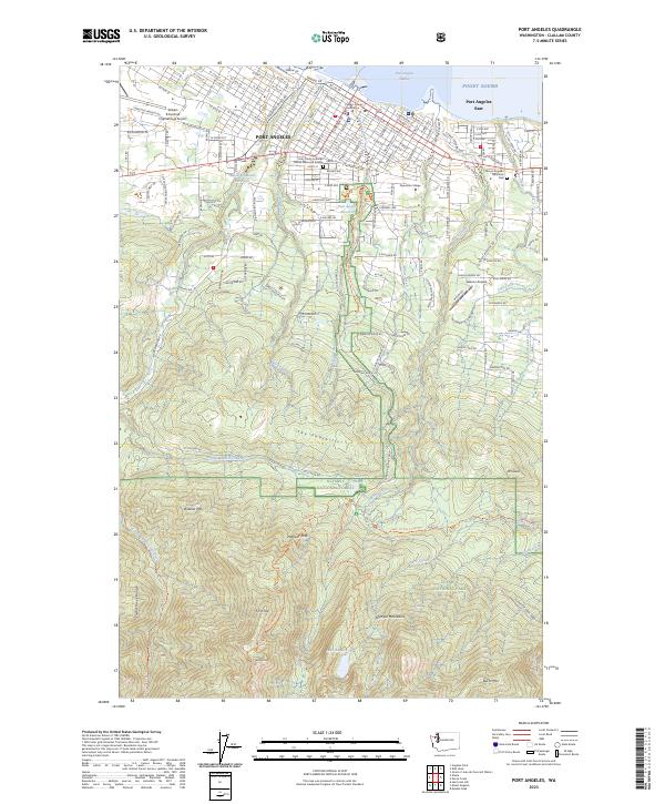
2023 Map of Port Angeles
USGS Topo · Published 2023About this map
The coastal city of Port Angeles serves as the gateway to the northern reaches of the Olympic National Park. This 2023 survey illustrates the dense urban layout surrounding the Clallam County Courthouse and Peninsula College, while providing a detailed view of the infrastructure supporting the region, including the William R Fairchild International Airport. The transition from the developed Puget Sound shoreline at Port Angeles Harbor to the steep elevations of the Olympic Mountains is striking, with the grid of city streets quickly giving way to the protected timberlands of the Olympic National Forest. Local landmarks like the Holy Trinity Lutheran Church Memorial Garden and Mount Angeles Memorial Park offer specific points of interest for genealogists, while hikers can trace routes through the Olympic Wilderness toward Lake Angeles and the heights of Burnt Mtn.
Find a feature on this map
148 named features on this map. Tap any name to fly to it.
Don’t see what you’re looking for? This feature index may not catch every label — zoom into the map to look around manually.
Map Details
Editions of this 2023 Port Angeles Map
This is the sole edition of this map. No revisions or reprints were ever made.
Other maps of this area

1918 · Port Angeles
USGS Topo · 1:62,500

1919 · Port Crescent
USGS Topo · 1:62,500

1935 · Mount Olympus
USGS Topo · 1:62,500

1938 · Mt Constance
USGS Topo · 1:125,000

1941 · Port Angeles
USGS Topo · 1:62,500

1942 · Mount Olympus
USGS Topo · 1:62,500

1944 · Mt. Angeles
USGS Topo · 1:62,500

1946 · Mt. Angeles
USGS Topo · 1:62,500

1950 · Elwha
USGS Topo · 1:24,000

1950 · Ediz Hook
USGS Topo · 1:24,000