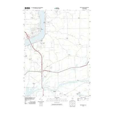
2010 Map of Port Byron
USGS Topo · Published 2010About this map
The Mississippi River and Rock River define the industrial and residential landscape of this region during the first decade of the 2000s. Riverside communities like Port Byron, Le Claire, and Rapids City line the banks, showing the established settlement patterns of the upper Mississippi. The interior is a grid of agricultural and suburban development, dotted with numerous family and community burial grounds including the Schäefer Family Cemetery, Pleasant Point Cemetery, and Zuma Cemetery. Further south, the map details the confluence of infrastructure and industry near Cleveland, where the Cleveland Quarry operates adjacent to the Rock River. Notable recreational and social landmarks, such as the YWCA Girls Camp and Shawbonee Camp, appear along the river bluffs, while the residential development of Rustic Acres and its associated Rustic Acres Lake Dam indicate contemporary water management and expansion near the river forks.
Find a feature on this map
72 named features on this map. Tap any name to fly to it.
Don’t see what you’re looking for? This feature index may not catch every label — zoom into the map to look around manually.
Map Details
Editions of this 2010 Port Byron Map
This is the sole edition of this map. No revisions or reprints were ever made.
Other maps of this area

1892 · Leclaire
USGS Topo · 1:62,500

1893 · Leclaire
USGS Topo · 1:62,500

1899 · Clinton
USGS Topo · 1:125,000

1934 · Geneseo
USGS Topo · 1:62,500

1937 · Orion
USGS Topo · 1:62,500

1949 · Coal Valley
USGS Topo · 1:24,000

1949 · Silvis
USGS Topo · 1:24,000

1949 · Port Byron
USGS Topo · 1:24,000

1950 · Port Byron
USGS Topo · 1:24,000

1952 · Erie
USGS Topo · 1:62,500