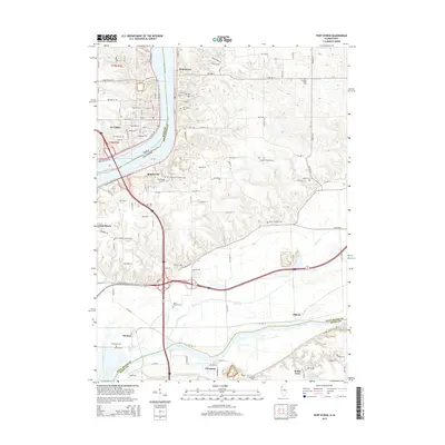
2015 Map of Port Byron
USGS Topo · Published 2015About this map
The Mississippi River acts as the defining border between Iowa and Illinois on this 2015 study, with the riverfront towns of Port Byron, Le Claire, and Rapids City anchoring the northern stretch. The landscape transitions from the river valley to the winding course of the Rock River in the south, where the communities of Cleveland and Barstow are situated. This area is characterized by a high concentration of burial grounds, providing significant genealogical value; many are family-named or associated with local congregations, such as the Schaefer Family Cem, Yost Cem, and Zion Lutheran Church Cem.
Find a feature on this map
50 named features on this map. Tap any name to fly to it.
Don’t see what you’re looking for? This feature index may not catch every label — zoom into the map to look around manually.
Map Details
Editions of this 2015 Port Byron Map
This is the sole edition of this map. No revisions or reprints were ever made.
Other maps of this area

1892 · Leclaire
USGS Topo · 1:62,500

1893 · Leclaire
USGS Topo · 1:62,500

1899 · Clinton
USGS Topo · 1:125,000

1934 · Geneseo
USGS Topo · 1:62,500

1937 · Orion
USGS Topo · 1:62,500

1949 · Coal Valley
USGS Topo · 1:24,000

1949 · Silvis
USGS Topo · 1:24,000

1949 · Port Byron
USGS Topo · 1:24,000

1950 · Port Byron
USGS Topo · 1:24,000

1952 · Erie
USGS Topo · 1:62,500