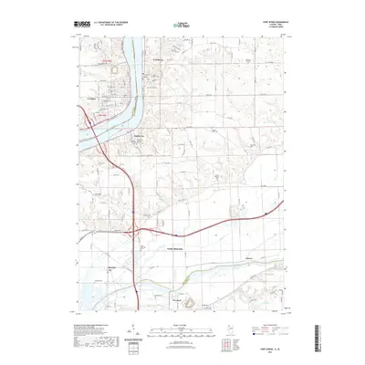
2021 Map of Port Byron
USGS Topo · Published 2021About this map
Mississippi River crossings and riverfront settlements define this borderland where Port Byron and Rapids City sit opposite Le Claire on the Iowa bank. The landscape transitions from the high bluffs of the Mississippi down to the valley of the Rock River, which cuts across the southern portion of the quadrangle near Cleveland and Barstow. This area is characterized by a high density of family and community burial grounds, including the Schaefer Family Cem, Yost Cem, and the Dana Edwards Cem, providing a significant record of early settlement patterns in Rock Island County.
Find a feature on this map
82 named features on this map. Tap any name to fly to it.
Don’t see what you’re looking for? This feature index may not catch every label — zoom into the map to look around manually.
Map Details
Editions of this 2021 Port Byron Map
This is the sole edition of this map. No revisions or reprints were ever made.
Other maps of this area

1892 · Leclaire
USGS Topo · 1:62,500

1893 · Leclaire
USGS Topo · 1:62,500

1899 · Clinton
USGS Topo · 1:125,000

1934 · Geneseo
USGS Topo · 1:62,500

1937 · Orion
USGS Topo · 1:62,500

1949 · Coal Valley
USGS Topo · 1:24,000

1949 · Silvis
USGS Topo · 1:24,000

1949 · Port Byron
USGS Topo · 1:24,000

1950 · Port Byron
USGS Topo · 1:24,000

1952 · Erie
USGS Topo · 1:62,500