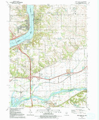
2024 Map of Port Byron
USGS Topo · Published 2024About this map
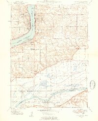
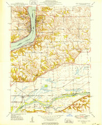
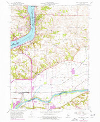
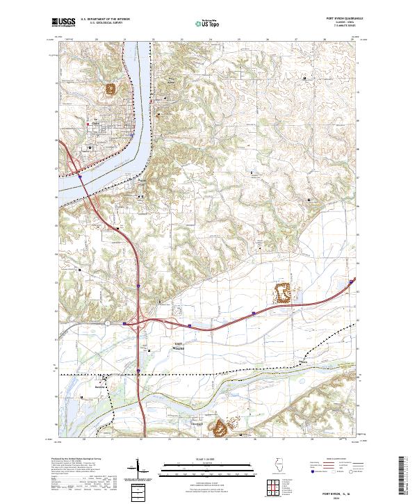
The Mississippi River serves as the central artery for this border region between Illinois and Iowa, where the riverfront communities of Port Byron, Le Claire, and Rapids City have long shaped the local character. The terrain is marked by significant elevation changes, particularly near Mount Pleasant, and is drained by numerous tributaries including McCarty Creek, Silver Creek, and Zuma Creek. Further south, the Rock River meanders toward East Moline and Cleveland, defining the landscape near Barstow.
Find a feature on this map
38 named features on this map. Tap any name to fly to it.
Don’t see what you’re looking for? This feature index may not catch every label — zoom into the map to look around manually.
Map Details
Editions of this 2024 Port Byron Map
This is the sole edition of this map. No revisions or reprints were ever made.
Historical Maps of Osborn Through Time
5 maps found