
1949 Map of Port Byron
USGS Topo · Published 1954About this map
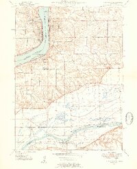
The Mississippi River and Rock River dominate this landscape at the intersection of Rock Island and Henry Counties, Illinois, and Scott County, Iowa. The riverbank towns of Port Byron, Le Claire, and Rapids City are linked by a complex network of transportation, including the Chicago Milwaukee ST Paul And Pacific and the Davenport Rock Island And North Western RR. A distinct cultural landscape is visible through numerous rural institutions such as Leafy Bower Sch, Rose Hill Sch, and Zion Ch.
Find a feature on this map
44 named features on this map. Tap any name to fly to it.
Don’t see what you’re looking for? This feature index may not catch every label — zoom into the map to look around manually.
Map Details
Editions of this 1949 Port Byron Map
2 editions found
Other maps of this area

1892 · Leclaire
USGS Topo · 1:62,500

1893 · Leclaire
USGS Topo · 1:62,500

1899 · Clinton
USGS Topo · 1:125,000

1934 · Geneseo
USGS Topo · 1:62,500

1937 · Orion
USGS Topo · 1:62,500

1949 · Coal Valley
USGS Topo · 1:24,000

1949 · Silvis
USGS Topo · 1:24,000

1950 · Port Byron
USGS Topo · 1:24,000

1952 · Erie
USGS Topo · 1:62,500
1952 · Cordova
USGS Topo · 1:24,000