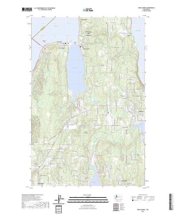
2023 Map of Port Gamble
USGS Topo · Published 2023About this map
Port Gamble and the Port Gamble Tribal Community sit at the mouth of the bay where the northern Kitsap Peninsula meets the Hood Canal. This 2023 survey documents a landscape defined by its deep maritime connections, from the Hood Canal Floating Brg in the west to the ferry terminal at Kingston on Appletree Cove. The map illustrates the contemporary layout of several historic waterfront communities including Hansville, Eglon, and Indianola, while also marking local landmarks like Teekalet Bluff and Thompson Airport.
Find a feature on this map
134 named features on this map. Tap any name to fly to it.
Don’t see what you’re looking for? This feature index may not catch every label — zoom into the map to look around manually.
Map Details
Editions of this 2023 Port Gamble Map
This is the sole edition of this map. No revisions or reprints were ever made.
Historical Maps of Indianola Through Time
18 maps found
1936 Point Misery
Kitsap County, WA

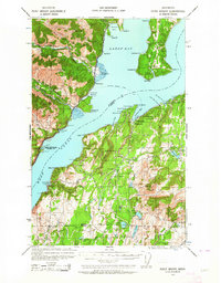
1937 Port Gamble
Kitsap County, WA

1940 Point Misery
Kitsap County, WA

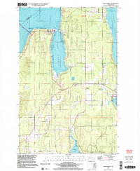
1940 Port Gamble
Kitsap County, WA
1953 Bremerton East
Kitsap County, WA
1953 Bremerton West
Kitsap County, WA
1953 Holly
Kitsap County, WA
1953 Olalla
Kitsap County, WA
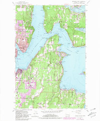
1953 Port Gamble
Kitsap County, WA
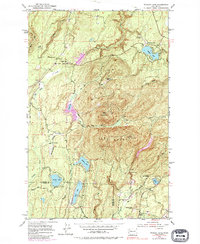
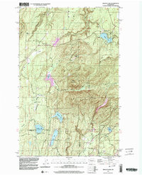
1953 Wildcat Lake
Kitsap County, WA
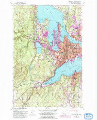
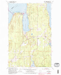
1997 Port Gamble
Kitsap County, WA
1997 Wildcat Lake
Kitsap County, WA
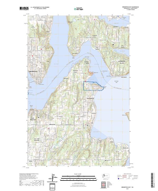
2023 Bremerton East
Kitsap County, WA
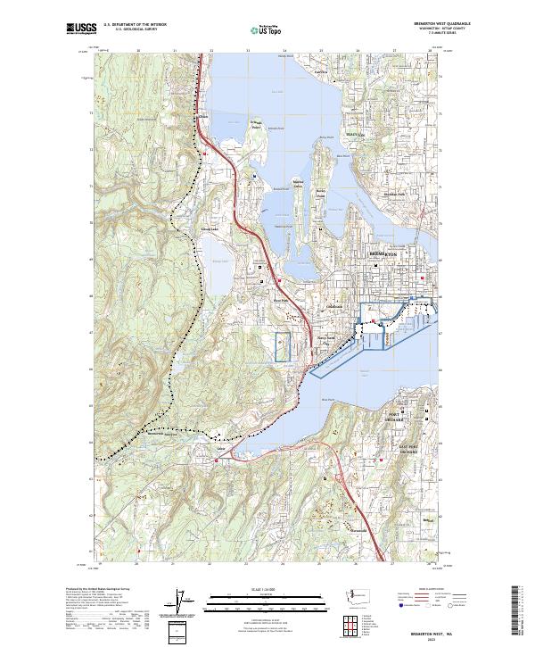
2023 Bremerton West
Kitsap County, WA
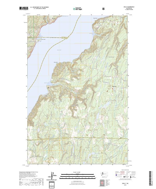
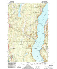
2023 Holly
Kitsap County, WA
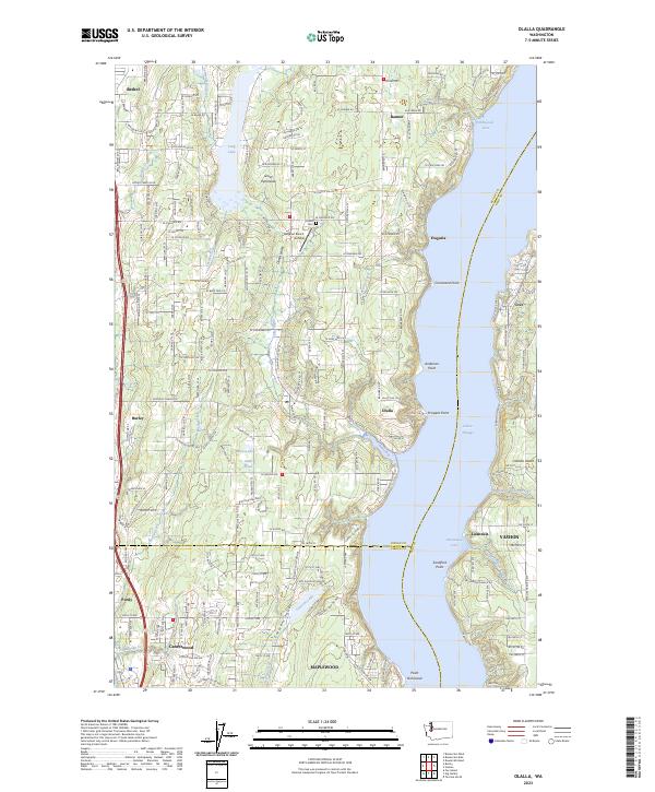
2023 Olalla
Kitsap County, WA
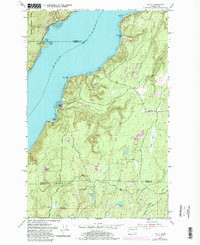
2023 Port Gamble
Kitsap County, WA
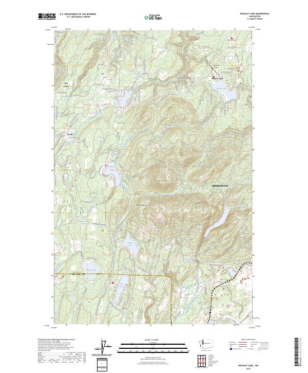
2023 Wildcat Lake
Kitsap County, WA