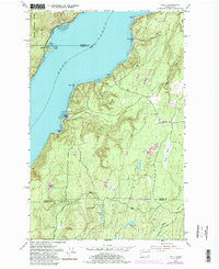
1953 Map of Holly
USGS Topo · Published 1986About this map
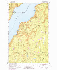
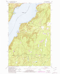
Hood Canal serves as the dominant geographic feature of this mid-century survey, dividing the peninsula landscape into distinct coastal segments. On the eastern shore, the small settlements of Holly, Nellita, and Hintzville are connected by a network of winding roads, illustrating the early 1950s residential patterns of Kitsap County. Across the water, the steep eastern boundary of the Olympic National Forest rises sharply from the shoreline near Triton, where Triton Head and Triton Cove provide natural landmarks for maritime navigation.
Find a feature on this map
28 named features on this map. Tap any name to fly to it.
Don’t see what you’re looking for? This feature index may not catch every label — zoom into the map to look around manually.
Map Details
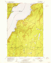
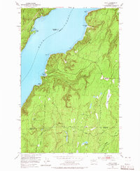
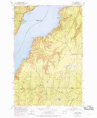
Editions of this 1953 Holly Map
6 editions found
Other maps of this area

1936 · Point Misery
USGS Topo · 1:62,500

1938 · Mt Constance
USGS Topo · 1:125,000

1938 · Allyn
USGS Topo · 1:62,500

1940 · Point Misery
USGS Topo · 1:62,500

1943 · Potlatch
USGS Topo · 1:62,500

1947 · The Brothers
USGS Topo · 1:62,500

1950 · The Brothers
USGS Topo · 1:62,500

1952 · Potlatch
USGS Topo · 1:62,500

1953 · Seabeck
USGS Topo · 1:24,000
1953 · Brinnon
USGS Topo · 1:24,000