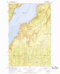
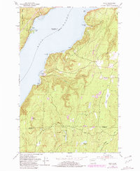
1953 Map of Holly
USGS Topo · Published 1969About this map
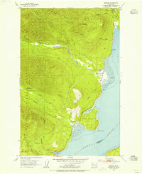
Hood Canal serves as the focal point for this mid-century survey of the Kitsap Peninsula, where steep, timbered ridges descend into deep saltwater inlets. The small waterfront settlements of Holly, Nellita, and Triton are shown at a time when access was primarily via the Dewatto Road or the winding Olympic Highway to the north. This map captures the intricate drainage systems and interior wetlands that defined the local geography before modern development, notably the expansive Morgan Marsh and several upland water bodies like Blacksmith Lake and Ludvick Lake.
Find a feature on this map
28 named features on this map. Tap any name to fly to it.
Don’t see what you’re looking for? This feature index may not catch every label — zoom into the map to look around manually.
Map Details
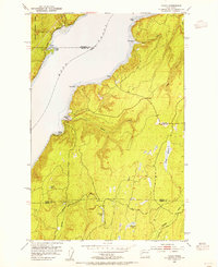
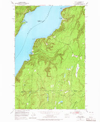
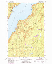
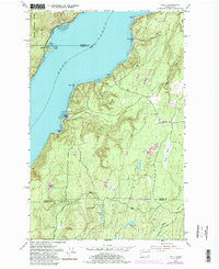
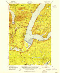
Editions of this 1953 Holly Map
6 editions found
Other maps of this area

1936 · Point Misery
USGS Topo · 1:62,500

1938 · Mt Constance
USGS Topo · 1:125,000

1938 · Allyn
USGS Topo · 1:62,500

1940 · Point Misery
USGS Topo · 1:62,500

1943 · Potlatch
USGS Topo · 1:62,500

1947 · The Brothers
USGS Topo · 1:62,500

1950 · The Brothers
USGS Topo · 1:62,500
1952 · Potlatch
USGS Topo · 1:62,500
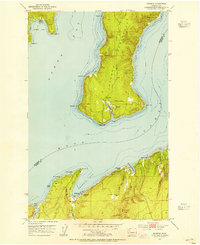
1953 · Seabeck
USGS Topo · 1:24,000
1953 · Brinnon
USGS Topo · 1:24,000