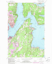
1953 Map of Bremerton East
USGS Topo · Published 1981About this map
The Puget Sound Naval Shipyard anchors this mid-century look at the Kitsap Peninsula, revealing a landscape defined by its deep-water connections and maritime industry. Across the Rich Passage, the southern shore of Bainbridge Island features established settlements like Winslow and Port Blakely, where the Port Blakely Cemetery and McDonald Sch speak to early community roots. The map captures the area before modern sprawling development, highlighting the significance of coastal points such as Point Glover and Orchard Point in naval operations and local navigation.
Find a feature on this map
65 named features on this map. Tap any name to fly to it.
Don’t see what you’re looking for? This feature index may not catch every label — zoom into the map to look around manually.
Map Details
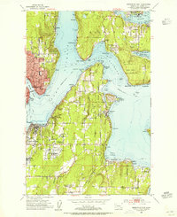
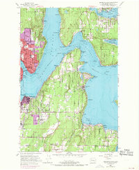
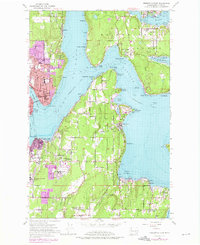
Editions of this 1953 Bremerton East Map
4 editions found
Other maps of this area

1894 · Seattle
USGS Topo · 1:62,500

1895 · Snohomish
USGS Topo · 1:125,000

1897 · Tacoma
USGS Topo · 1:125,000

1897 · Seattle
USGS Topo · 1:125,000

1900 · Tacoma
USGS Topo · 1:125,000

1908 · Seattle
USGS Topo · 1:62,500

1909 · Seattle Special
USGS Topo · 1:62,500

1937 · Port Orchard
USGS Topo · 1:62,500

1942 · Gig Harbor
USGS Topo · 1:62,500

1943 · Gig Harbor
USGS Topo · 1:62,500