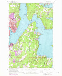
1953 Map of Bremerton East
USGS Topo · Published 1976About this map
Bainbridge Island and the neighboring Kitsap Peninsula shoreline dominate this 1953 survey, showing the complex maritime geography around Rich Passage and Eagle Harbor. The urban growth of Bremerton and Port Orchard is clearly marked, including the expansion of the Naval Reservation and the industrial activity at Creosote and Port Blakely. The map documents a transition toward modernization as suburban footprints push into the wooded interior, yet older landmarks remain, such as the Veterans Home and several rural parishes like Orchard Heights Church. Navigational aids and points such as Point White, Point Glover, and Orchard Point define the shorelines, while interior features like Gazzam Lake and Salmonberry Creek provide a look at the natural hydrology before extensive later development.
Find a feature on this map
75 named features on this map. Tap any name to fly to it.
Don’t see what you’re looking for? This feature index may not catch every label — zoom into the map to look around manually.
Map Details
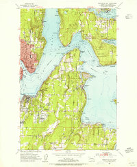
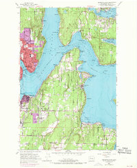
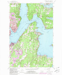
Editions of this 1953 Bremerton East Map
4 editions found
Other maps of this area

1894 · Seattle
USGS Topo · 1:62,500

1895 · Snohomish
USGS Topo · 1:125,000

1897 · Tacoma
USGS Topo · 1:125,000

1897 · Seattle
USGS Topo · 1:125,000

1900 · Tacoma
USGS Topo · 1:125,000

1908 · Seattle
USGS Topo · 1:62,500

1909 · Seattle Special
USGS Topo · 1:62,500

1937 · Port Orchard
USGS Topo · 1:62,500

1942 · Gig Harbor
USGS Topo · 1:62,500

1943 · Gig Harbor
USGS Topo · 1:62,500