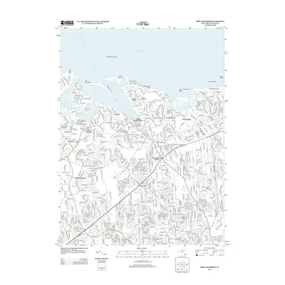
2013 Map of Port Jefferson
USGS Topo · Published 2013About this map
Port Jefferson and its deeply indented harbor serve as the central focus of this coastal study, showing the sophisticated maritime and residential character of northern Brookhaven in the early twenty-first century. The map documents a high density of religious and heritage sites, particularly in the vicinity of Setauket and East Setauket. Notable landmarks include the Caroline Episcopal Churchyard and Cem and the First Presbyterian Churchyard and Cem, alongside important cultural locations like the Bethel African American Cem.
Find a feature on this map
45 named features on this map. Tap any name to fly to it.
Don’t see what you’re looking for? This feature index may not catch every label — zoom into the map to look around manually.
Map Details
Editions of this 2013 Port Jefferson Map
This is the sole edition of this map. No revisions or reprints were ever made.
Other maps of this area
1891 · Bridgeport
USGS Topo · 1:62,500
1893 · Bridgeport
USGS Topo · 1:62,500
1902 · Setauket
USGS Topo · 1:62,500
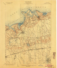
1904 · Setauket
USGS Topo · 1:62,500
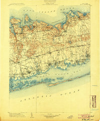
1904 · Islip
USGS Topo · 1:125,000
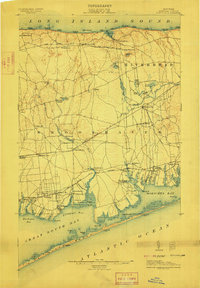
1904 · Moriches
USGS Topo · 1:62,500
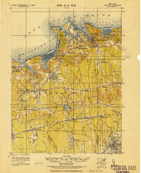
1919 · Setauket
USGS Topo · 1:62,500
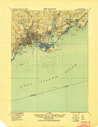
1920 · Bridgeport
USGS Topo · 1:62,500
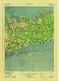
1942 · Islip
USGS Topo · 1:125,000
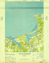
1947 · St James
USGS Topo · 1:24,000