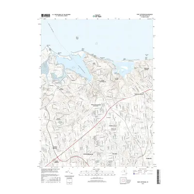
2016 Map of Port Jefferson
USGS Topo · Published 2016About this map
Port Jefferson Harbor and the adjacent Long Island Sound define this coastal stretch of Brookhaven, where maritime heritage and suburban development intersect. The map documents a dense concentration of local history in the Setauket area, including the Caroline Episcopal Churchyard and Cem and the First Presbyterian Churchyard and Cem. These sites, along with the Bethel African-American Cem and Laurel Hill African-American Cem, serve as critical points for genealogical research. The landscape transitions from the residential streets of Terryville and Selden to the prominent heights of Mt Misery and the educational grounds of Stony Brook Univ. Evidence of the area's older infrastructure persists through labels like the Sheep Pasture Road Bridge and the path of the Long Island railroad, illustrating how the community evolved around its natural harbors and early overland routes.
Find a feature on this map
50 named features on this map. Tap any name to fly to it.
Don’t see what you’re looking for? This feature index may not catch every label — zoom into the map to look around manually.
Map Details
Editions of this 2016 Port Jefferson Map
This is the sole edition of this map. No revisions or reprints were ever made.
Other maps of this area

1891 · Bridgeport
USGS Topo · 1:62,500

1893 · Bridgeport
USGS Topo · 1:62,500

1902 · Setauket
USGS Topo · 1:62,500

1904 · Setauket
USGS Topo · 1:62,500

1904 · Islip
USGS Topo · 1:125,000

1904 · Moriches
USGS Topo · 1:62,500

1919 · Setauket
USGS Topo · 1:62,500

1920 · Bridgeport
USGS Topo · 1:62,500

1942 · Islip
USGS Topo · 1:125,000
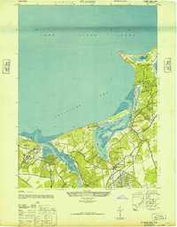
1947 · St James
USGS Topo · 1:24,000