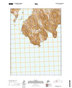
2020 Map of Port Moller A-6 SE
USGS Topo · Published 2020About this map
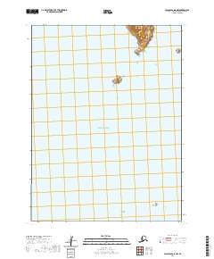
Dolgoi Cape marks the southern extremity of this landmass, where the terrain slopes toward the Pacific Ocean. This coastal landscape, surveyed for the 2020 US Topo series, reveals a complex of islands and maritime boundaries in the Aleutians East Borough. To the west, Entrance Island sits as a lonely sentinel, while the Olga Islands cluster near the northern shoreline. The map is defined by its topographic isolation, showing the relief of unnamed peaks that rise sharply from the water. This remote section of the Alaskan coastline is primarily categorized by its maritime navigation points and the designated township boundaries of the Public Land Survey System, such as t59s r82w and t58s r83w.
Find a feature on this map
10 named features on this map. Tap any name to fly to it.
Don’t see what you’re looking for? This feature index may not catch every label — zoom into the map to look around manually.
Map Details
Editions of this 2020 Port Moller A-6 SE Map
This is the sole edition of this map. No revisions or reprints were ever made.
Other maps of this area

1949 · False Pass
USGS Topo · 1:250,000

1950 · False Pass
USGS Topo · 1:250,000

1953 · Port Moller
USGS Topo · 1:250,000

1963 · Port Moller A-5
USGS Topo · 1:63,360

1963 · Port Moller A-6
USGS Topo · 1:63,360
1963 · False Pass D-0
USGS Topo · 1:63,360

1988 · Port Moller
USGS Topo · 1:250,000
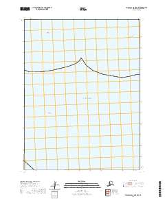
2020 · False Pass D-0 OE E NW
USGS Topo · 1:25,000
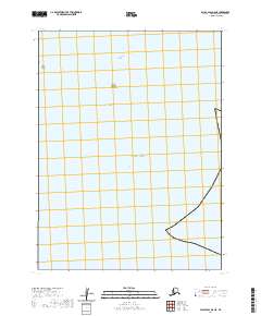
2020 · False Pass D-0 NE
USGS Topo · 1:25,000
2020 · False Pass D-0 NW
USGS Topo · 1:25,000