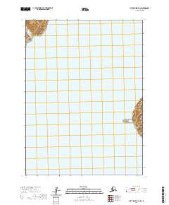
2020 Map of Port Moller B-2 NE
USGS Topo · Published 2020About this map
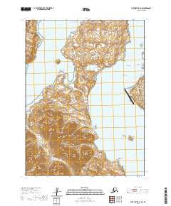
Alaska Peninsula coastlines and the isolated reaches of the Shumagin Islands define this maritime landscape in the Aleutians East Borough. The survey focuses heavily on the waters of Korovin Strait, a passage that separates the mainland from the rugged terrain of Korovin Island and the smaller Henderson Island. This modern 2020 map, produced by the U.S. Geological Survey, meticulously details the coastal topography and township boundaries of the region. The map provides a precise view of the remote island landforms and the sea-level intersections of the Alaskan coast, where land and water meet along the northwestern edge of the North Pacific.
Find a feature on this map
8 named features on this map. Tap any name to fly to it.
Don’t see what you’re looking for? This feature index may not catch every label — zoom into the map to look around manually.
Map Details
Editions of this 2020 Port Moller B-2 NE Map
This is the sole edition of this map. No revisions or reprints were ever made.
Other maps of this area

1953 · Port Moller
USGS Topo · 1:250,000

1963 · Port Moller B-2
USGS Topo · 1:63,360

1963 · Port Moller C-2
USGS Topo · 1:63,360

1963 · Port Moller B-1
USGS Topo · 1:63,360

1963 · Port Moller C-1
USGS Topo · 1:63,360

1988 · Port Moller
USGS Topo · 1:250,000
2020 · Port Moller C-2 SE
USGS Topo · 1:25,000
2020 · Port Moller B-1 NW
USGS Topo · 1:25,000
2020 · Port Moller C-2 SW
USGS Topo · 1:25,000
2020 · Port Moller B-2 SW
USGS Topo · 1:25,000