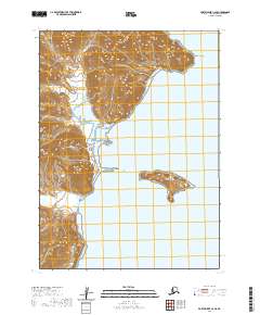
2020 Map of Port Moller C-2 SE
USGS Topo · Published 2020About this map
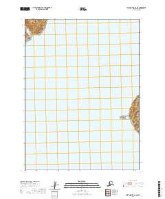
The Aleutian Range dominates the western coastline of this quadrangle, its steep slopes descending sharply into the waters of San Diego Bay. This coastal landscape is defined by the complex interaction of land and sea, where the peninsula's jagged profile terminates at Renshaw Point in the northeast. This 2020 survey provides a modern look at the remote coastal topography of the Aleutians East Borough, showing the isolation of Guillemot Island situated just offshore. To the south, the open expanse of Unga Strait suggests the maritime routes that navigate this stretch of the Alaska Peninsula. The lack of roads or infrastructure on this sheet emphasizes the wilderness character of the region, where the primary landmarks are natural points, bays, and offshore islands.
Find a feature on this map
9 named features on this map. Tap any name to fly to it.
Don’t see what you’re looking for? This feature index may not catch every label — zoom into the map to look around manually.
Map Details
Editions of this 2020 Port Moller C-2 SE Map
This is the sole edition of this map. No revisions or reprints were ever made.
Other maps of this area

1953 · Port Moller
USGS Topo · 1:250,000

1963 · Port Moller B-2
USGS Topo · 1:63,360

1963 · Port Moller C-2
USGS Topo · 1:63,360

1963 · Port Moller B-1
USGS Topo · 1:63,360

1963 · Port Moller C-1
USGS Topo · 1:63,360

1988 · Port Moller
USGS Topo · 1:250,000
2020 · Port Moller C-1 NW
USGS Topo · 1:25,000
2020 · Port Moller C-2 NE
USGS Topo · 1:25,000
2020 · Port Moller B-1 NW
USGS Topo · 1:25,000
2020 · Port Moller B-2 NE
USGS Topo · 1:25,000