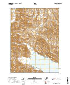
2020 Map of Port Moller C-2 NE
USGS Topo · Published 2020About this map
The Alaska Peninsula coastline meets the northern reaches of Dorenoi Bay in this recent survey. The landscape is defined by its coastal hydrology, specifically where the waters of Susie Cr flow southward through the terrain before emptying into the bay. This map captures the intersection of high-elevation contours and the tidal environment, illustrating the natural drainage patterns of the peninsula. While the area lacks developed settlements or transportation infrastructure, the topographic detail provides a clear view of the landforms that dominate this remote part of the Alaska Peninsula, showing how the inland peaks transition to the shoreline of Dorenoi Bay.
Find a feature on this map
9 named features on this map. Tap any name to fly to it.
Don’t see what you’re looking for? This feature index may not catch every label — zoom into the map to look around manually.
Map Details
Editions of this 2020 Port Moller C-2 NE Map
This is the sole edition of this map. No revisions or reprints were ever made.
Other maps of this area

1953 · Port Moller
USGS Topo · 1:250,000

1963 · Port Moller C-2
USGS Topo · 1:63,360

1963 · Port Moller C-1
USGS Topo · 1:63,360

1963 · Port Moller D-2
USGS Topo · 1:63,360
1963 · Port Moller D-1
USGS Topo · 1:63,360

1988 · Port Moller
USGS Topo · 1:250,000
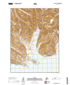
2020 · Port Moller C-1 NW
USGS Topo · 1:25,000
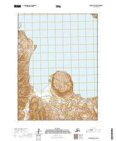
2020 · Port Moller D-2 SE
USGS Topo · 1:25,000
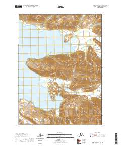
2020 · Port Moller D-1 SW
USGS Topo · 1:25,000
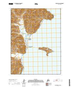
2020 · Port Moller C-2 SE
USGS Topo · 1:25,000