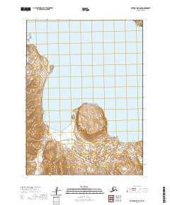
2020 Map of Port Moller D-2 SE
USGS Topo · Published 2020About this map
The Aleutian Range dominates the southern portion of this landscape, its steep topography rising abruptly from the waters of the Alaska Peninsula. Along the coast, the tidal interface is defined by Mud Bay, a large inlet protected by the prominent Right Head. The map documents a sparsely populated but geographically significant wilderness where the land meets the Bering Sea, characterized by extreme elevation changes over short distances.
Find a feature on this map
9 named features on this map. Tap any name to fly to it.
Don’t see what you’re looking for? This feature index may not catch every label — zoom into the map to look around manually.
Map Details
Editions of this 2020 Port Moller D-2 SE Map
This is the sole edition of this map. No revisions or reprints were ever made.
Other maps of this area

1953 · Port Moller
USGS Topo · 1:250,000

1963 · Port Moller C-2
USGS Topo · 1:63,360

1963 · Port Moller C-1
USGS Topo · 1:63,360

1963 · Port Moller D-2
USGS Topo · 1:63,360
1963 · Port Moller D-1
USGS Topo · 1:63,360

1988 · Port Moller
USGS Topo · 1:250,000
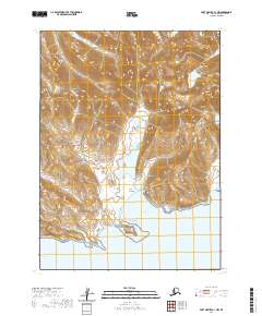
2020 · Port Moller C-1 NW
USGS Topo · 1:25,000
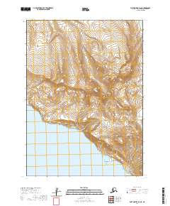
2020 · Port Moller D-2 NE
USGS Topo · 1:25,000
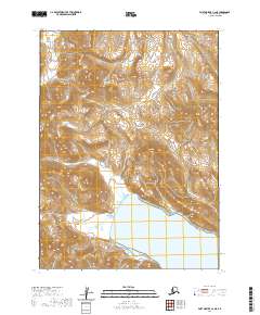
2020 · Port Moller C-2 NE
USGS Topo · 1:25,000
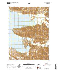
2020 · Port Moller D-1 SW
USGS Topo · 1:25,000