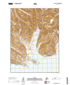
2020 Map of Port Moller C-1 NW
USGS Topo · Published 2020About this map
The Aleutian Range dominates this portion of the Alaska Peninsula, where steep volcanic peaks descend into the cold waters of the North Pacific. High points like Mt Stepo and Chichagof Peak overlook a landscape defined by dramatic elevation changes, with the Chichagof Valley providing a natural corridor toward the coast. The southern coastline is deeply indented by maritime features such as Chichagof Bay and Dorenoi Bay, separated by prominent headlands at East Point and West Point. This survey illustrates a wilderness shaped by tectonic and glacial forces, with small drainages like Susie Cr feeding into West Cove. The lack of established infrastructure or settlements emphasizes the maritime and ecological focus of this remote Alaskan territory, where the terrain itself dictates the patterns of access and survival.
Find a feature on this map
18 named features on this map. Tap any name to fly to it.
Don’t see what you’re looking for? This feature index may not catch every label — zoom into the map to look around manually.
Map Details
Editions of this 2020 Port Moller C-1 NW Map
This is the sole edition of this map. No revisions or reprints were ever made.
Other maps of this area

1953 · Port Moller
USGS Topo · 1:250,000

1963 · Port Moller C-2
USGS Topo · 1:63,360

1963 · Port Moller C-1
USGS Topo · 1:63,360

1963 · Port Moller D-2
USGS Topo · 1:63,360
1963 · Port Moller D-1
USGS Topo · 1:63,360

1988 · Port Moller
USGS Topo · 1:250,000
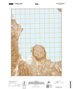
2020 · Port Moller D-2 SE
USGS Topo · 1:25,000
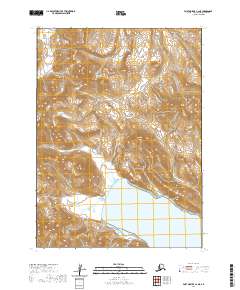
2020 · Port Moller C-2 NE
USGS Topo · 1:25,000
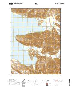
2020 · Port Moller D-1 SW
USGS Topo · 1:25,000
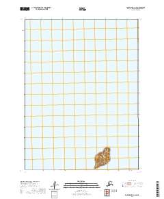
2020 · Port Moller C-1 SE
USGS Topo · 1:25,000