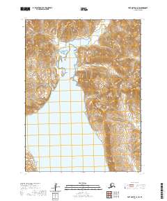
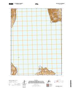
2020 Map of Port Moller C-2 SW
USGS Topo · Published 2020About this map
Balboa Bay and Lefthand Bay define this coastal expanse within the Aleutian Range, where the land breaks into a complex of points and islands. This 2020 topographic study shows a wilderness landscape shaped by maritime features, including the prominent Cape Aliaksin and the landform at Monolith Point. The marine geography is further characterized by Basset Island and Ballast Island, which sit at the mouth of a long coastal inlet. Several drainage systems, such as Bishop Cr, Johnson Cr, and Coleman Cr, carve through the steep relief of the range to reach the sea. This map is particularly valuable for understanding the shoreline morphology and coastal navigation landmarks along this portion of the Alaska Peninsula, where Reef Point serves as a distinct nautical indicator.
Find a feature on this map
15 named features on this map. Tap any name to fly to it.
Don’t see what you’re looking for? This feature index may not catch every label — zoom into the map to look around manually.
Map Details
Editions of this 2020 Port Moller C-2 SW Map
This is the sole edition of this map. No revisions or reprints were ever made.
Other maps of this area

1953 · Port Moller
USGS Topo · 1:250,000

1963 · Port Moller B-2
USGS Topo · 1:63,360

1963 · Port Moller C-2
USGS Topo · 1:63,360

1983 · Port Moller B-3
USGS Topo · 1:63,360

1983 · Port Moller C-3
USGS Topo · 1:63,360

1988 · Port Moller
USGS Topo · 1:250,000
2020 · Port Moller C-2 NE
USGS Topo · 1:25,000
2020 · Port Moller C-2 SE
USGS Topo · 1:25,000
2020 · Port Moller B-2 NE
USGS Topo · 1:25,000
2020 · Port Moller B-2 NW
USGS Topo · 1:25,000