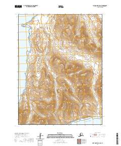
2020 Map of Port Moller B-5 NE
USGS Topo · Published 2020About this map
Settlement Point marks a prominent location on the western coastline of the Alaska Peninsula in this 2020 topographical study. The landscape is characterized by its coastal orientation, where the land meets the Pacific Ocean along the southern edge of the quadrangle. This map documents a sparsely populated region where natural landforms and the maritime boundary are the primary features. The terrain rising from the sea level into the interior heights of the peninsula is detailed through contour intervals, showing the physical geography that has historically shaped navigation and land use in the Aleutians East Borough.
Find a feature on this map
7 named features on this map. Tap any name to fly to it.
Don’t see what you’re looking for? This feature index may not catch every label — zoom into the map to look around manually.
Map Details
Editions of this 2020 Port Moller B-5 NE Map
This is the sole edition of this map. No revisions or reprints were ever made.
Other maps of this area

1953 · Port Moller
USGS Topo · 1:250,000

1963 · Port Moller C-5
USGS Topo · 1:63,360

1983 · Port Moller C-4
USGS Topo · 1:63,360
1983 · Port Moller B-4
USGS Topo · 1:63,360
1983 · Port Moller B-5
USGS Topo · 1:63,360

1988 · Port Moller
USGS Topo · 1:250,000
2020 · Port Moller C-5 SE
USGS Topo · 1:25,000
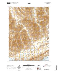
2020 · Port Moller B-4 NW
USGS Topo · 1:25,000
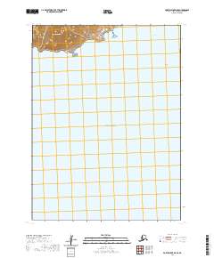
2020 · Port Moller B-5 SE
USGS Topo · 1:25,000
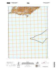
2020 · Port Moller B-4 SW
USGS Topo · 1:25,000