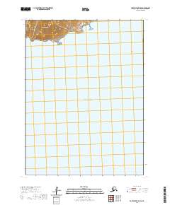
2020 Map of Port Moller B-5 SE
USGS Topo · Published 2020About this map
Pacific Ocean waters dominate this coastal survey of the Aleutian landscape, where the northern shoreline of the Alaska Peninsula meets the sea. The terrain is defined by dramatic coastal elevations, notably Tolstoi Peak, which rises sharply from the water's edge. To the east, the protected waters of Coal Bay provide a break in the coastline, while Moses Rocks stand as offshore landmarks near the eastern boundary. This map reveals a largely uninhabited wilderness where the landscape is organized by the Public Land Survey System, showing several townships including t55s r80w and t55s r79w. The transition from the high peaks of the peninsula to the open ocean highlights the isolation of this maritime region in the early twenty-first century.
Find a feature on this map
11 named features on this map. Tap any name to fly to it.
Don’t see what you’re looking for? This feature index may not catch every label — zoom into the map to look around manually.
Map Details
Editions of this 2020 Port Moller B-5 SE Map
This is the sole edition of this map. No revisions or reprints were ever made.
Other maps of this area

1953 · Port Moller
USGS Topo · 1:250,000

1963 · Port Moller A-5
USGS Topo · 1:63,360
1963 · Port Moller A-4
USGS Topo · 1:63,360
1983 · Port Moller B-4
USGS Topo · 1:63,360
1983 · Port Moller B-5
USGS Topo · 1:63,360

1988 · Port Moller
USGS Topo · 1:250,000
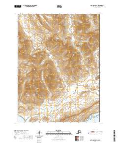
2020 · Port Moller B-4 NW
USGS Topo · 1:25,000
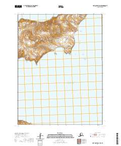
2020 · Port Moller A-5 NW
USGS Topo · 1:25,000
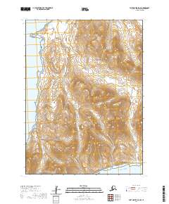
2020 · Port Moller B-5 NE
USGS Topo · 1:25,000
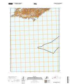
2020 · Port Moller B-4 SW
USGS Topo · 1:25,000