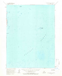
1963 Map of Port Moller A-4
USGS Topo · Published 1966About this map
Wosnesenski Island and a series of smaller landmasses punctuate the vast waters of the Pacific Ocean in this mid-1960s hydrographic and topographic study. Based on aerial photography from 1957 and field annotations from 1963, the map depicts the complex seafloor contours and island coastlines of the Aleutians East region. The archipelago is represented by several distinct points of land, including Omega Island to the north, the small cluster of Kennoys Islands further east, and Clay Island. While primarily a nautical and topographic record produced by the Geological Survey and USC&GS, the map emphasizes the maritime isolation and natural geography of these islands rather than human settlement. The inclusion of depth curves and soundings provides a detailed look at the underwater shelf surrounding these remote outposts during a period of active aerial surveying in Alaska.
Find a feature on this map
5 named features on this map. Tap any name to fly to it.
Don’t see what you’re looking for? This feature index may not catch every label — zoom into the map to look around manually.
Map Details
Editions of this 1963 Port Moller A-4 Map
2 editions found
Other maps of this area

1953 · Port Moller
USGS Topo · 1:250,000

1963 · Port Moller A-5
USGS Topo · 1:63,360
1963 · Port Moller A-3
USGS Topo · 1:63,360

1963 · Simeonof Island
USGS Topo · 1:250,000

1967 · Simeonof Island
USGS Topo · 1:250,000

1983 · Port Moller B-3
USGS Topo · 1:63,360
1983 · Port Moller B-4
USGS Topo · 1:63,360
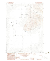
1983 · Port Moller B-5
USGS Topo · 1:63,360

1988 · Port Moller
USGS Topo · 1:250,000
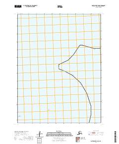
2020 · Port Moller A-5 SE
USGS Topo · 1:25,000