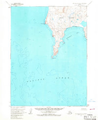
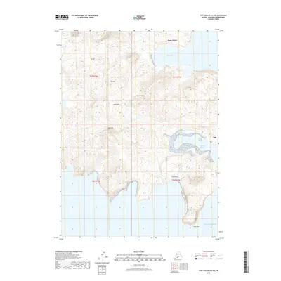
1963 Map of Port Moller A-3
USGS Topo · Published 1967About this map
Unga Island occupies the upper right of this 1963 survey, where steep coastal bluffs meet the surrounding waters of the Pacific Ocean. This maritime landscape is defined by the sharp projection of Sombrero Point to the west and the protective reach of Acheredin Point to the south, which together frame the wide opening of Acheredin Bay. The interior of the island shows significant elevation, with contour lines indicating a high ridge line that drops sharply toward the eastern shore. Compiled from aerial photography and hydrographic charts from the mid-1960s, the map provides a look at this part of the Aleutians before modern development, focused entirely on the natural geography and bathymetry of the shoreline without any roads or trails recorded.
Find a feature on this map
5 named features on this map. Tap any name to fly to it.
Don’t see what you’re looking for? This feature index may not catch every label — zoom into the map to look around manually.
Map Details
Editions of this 1963 Port Moller A-3 Map
2 editions found
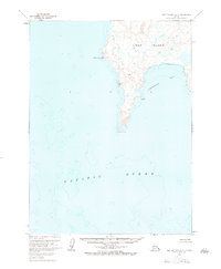
Other maps of this area

1953 · Port Moller
USGS Topo · 1:250,000
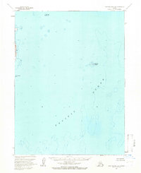
1963 · Port Moller A-4
USGS Topo · 1:63,360

1963 · Port Moller A-2
USGS Topo · 1:63,360

1963 · Port Moller B-2
USGS Topo · 1:63,360

1963 · Simeonof Island
USGS Topo · 1:250,000

1967 · Simeonof Island
USGS Topo · 1:250,000

1983 · Port Moller B-3
USGS Topo · 1:63,360
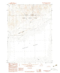
1983 · Port Moller B-4
USGS Topo · 1:63,360

1988 · Port Moller
USGS Topo · 1:250,000
2020 · Port Moller A-2 NW
USGS Topo · 1:25,000