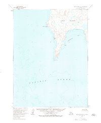
1963 Map of Port Moller A-3
USGS Topo · Published 1984About this map
Unga Island dominates this 1960s hydrographic and topographic study of the Shumagin Islands' western reaches. The map detail highlights the island's southern peninsula, terminating at Acheredin Point, where the land meets the Pacific Ocean. This survey preserves the coastal profile as it was recorded just before the mid-1960s, documenting the shoreline of Acheredin Bay and the northern landmark of Sombrero Point. The topography, derived from 1957 aerial photography and 1963 field annotations, illustrates a landscape defined by significant elevation changes and complex coastal inlets, providing a specialized look at the maritime geography of the Aleutian East region.
Find a feature on this map
5 named features on this map. Tap any name to fly to it.
Don’t see what you’re looking for? This feature index may not catch every label — zoom into the map to look around manually.
Map Details
Editions of this 1963 Port Moller A-3 Map
2 editions found
Other maps of this area

1953 · Port Moller
USGS Topo · 1:250,000
1963 · Port Moller A-4
USGS Topo · 1:63,360

1963 · Port Moller A-2
USGS Topo · 1:63,360

1963 · Port Moller B-2
USGS Topo · 1:63,360
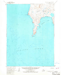
1963 · Port Moller A-3
USGS Topo · 1:63,360

1963 · Simeonof Island
USGS Topo · 1:250,000

1967 · Simeonof Island
USGS Topo · 1:250,000

1983 · Port Moller B-3
USGS Topo · 1:63,360
1983 · Port Moller B-4
USGS Topo · 1:63,360

1988 · Port Moller
USGS Topo · 1:250,000