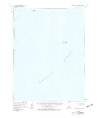
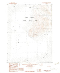
1963 Map of Port Moller A-4
USGS Topo · Published 1983About this map
Wosnesenski Island and the scattered outcroppings of the Kennoys Islands define this maritime landscape in the Pacific Ocean off the Alaska Peninsula. Based on 1957 aerial photography with 1963 field annotations, the map emphasizes the hydrographic complexity of these waters, incorporating data from USC&GS charts produced in 1964. The survey documents isolated landmasses such as Omega Island and Clay Island, which serve as critical landmarks for navigation and local history in a region defined by its rugged coastal geography and remote island chains. This edition is particularly useful for understanding the charted hazards and shoreline contours before more modern satellite-derived revisions.
Find a feature on this map
5 named features on this map. Tap any name to fly to it.
Don’t see what you’re looking for? This feature index may not catch every label — zoom into the map to look around manually.
Map Details
Editions of this 1963 Port Moller A-4 Map
2 editions found
Other maps of this area

1953 · Port Moller
USGS Topo · 1:250,000

1963 · Port Moller A-5
USGS Topo · 1:63,360
1963 · Port Moller A-4
USGS Topo · 1:63,360
1963 · Port Moller A-3
USGS Topo · 1:63,360

1963 · Simeonof Island
USGS Topo · 1:250,000

1967 · Simeonof Island
USGS Topo · 1:250,000

1983 · Port Moller B-3
USGS Topo · 1:63,360
1983 · Port Moller B-4
USGS Topo · 1:63,360
1983 · Port Moller B-5
USGS Topo · 1:63,360

1988 · Port Moller
USGS Topo · 1:250,000