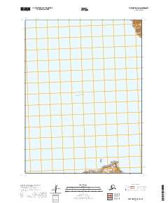
2020 Map of Port Moller B-5 SW
USGS Topo · Published 2020About this map
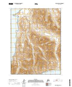
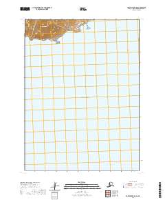
The Pacific Ocean dominates this maritime survey, illustrating the isolated coastal geography of the Aleutian landscape. The map focuses on the waters and landforms south of the Alaska Peninsula, specifically featuring the northern reaches of the Pavlof Islands. Significant landmasses include the rugged terrain of Ukolnoi Island at the southern edge of the sheet and the prominent coastal headland of Cape Tolstoi in the northeast. This 2020 edition provides a clear visualization of these remote islands and their relationship to the open sea, grounded in data from the National Elevation Dataset and the Alaska Department of Transportation.
Find a feature on this map
10 named features on this map. Tap any name to fly to it.
Don’t see what you’re looking for? This feature index may not catch every label — zoom into the map to look around manually.
Map Details
Editions of this 2020 Port Moller B-5 SW Map
This is the sole edition of this map. No revisions or reprints were ever made.
Other maps of this area

1953 · Port Moller
USGS Topo · 1:250,000

1963 · Port Moller A-5
USGS Topo · 1:63,360

1963 · Port Moller A-6
USGS Topo · 1:63,360

1983 · Port Moller B-6
USGS Topo · 1:63,360
1983 · Port Moller B-5
USGS Topo · 1:63,360

1988 · Port Moller
USGS Topo · 1:250,000
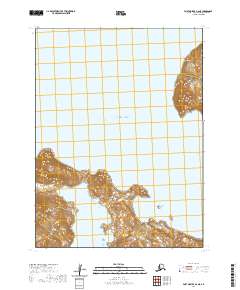
2020 · Port Moller A-6 NE
USGS Topo · 1:25,000
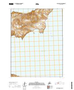
2020 · Port Moller A-5 NW
USGS Topo · 1:25,000
2020 · Port Moller B-5 NE
USGS Topo · 1:25,000
2020 · Port Moller B-5 SE
USGS Topo · 1:25,000