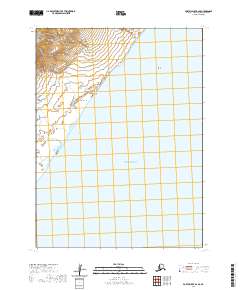
2020 Map of Port Moller B-6 SE
USGS Topo · Published 2020About this map
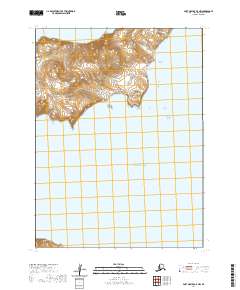
The Alaska Peninsula meets the vast waters of the Pacific Ocean in this topographic study, where the coastline is defined by steep elevation shifts and exposed maritime landmarks. Along the shore, Long Beach stretches beneath the rising terrain, leading toward the prominent coastal marker at Bluff Point. Further north and out in the open water, the singular feature of Black Rock serves as a distinct point of navigation. The map shows a landscape largely shaped by natural forces rather than human development, with the interior rising rapidly from the sea into a series of ridges and peaks that overlook the beach. This transition from the maritime environment to the high-relief peninsular geography is characteristic of this remote stretch of the Aleutians East region.
Find a feature on this map
11 named features on this map. Tap any name to fly to it.
Don’t see what you’re looking for? This feature index may not catch every label — zoom into the map to look around manually.
Map Details
Editions of this 2020 Port Moller B-6 SE Map
This is the sole edition of this map. No revisions or reprints were ever made.
Other maps of this area

1953 · Port Moller
USGS Topo · 1:250,000

1963 · Port Moller A-5
USGS Topo · 1:63,360

1963 · Port Moller A-6
USGS Topo · 1:63,360

1983 · Port Moller B-6
USGS Topo · 1:63,360
1983 · Port Moller B-5
USGS Topo · 1:63,360

1988 · Port Moller
USGS Topo · 1:250,000
2020 · Port Moller A-6 NE
USGS Topo · 1:25,000
2020 · Port Moller A-6 NW
USGS Topo · 1:25,000
2020 · Port Moller A-5 NW
USGS Topo · 1:25,000
2020 · Port Moller B-6 NE
USGS Topo · 1:25,000